Nigeria

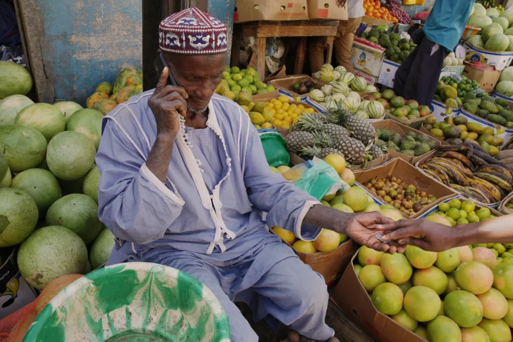
Photo of a Fruit Stall in Dakar, Senegal

Mapping Africa’s hidden food access gap with open data

What happens when reaching the nearest food market takes hours rather than minutes? New research led by doctoral researcher, Robert Benassai-Dalmau at the Universitat Oberta de Catalunya, Barcelona, reveals that for millions of people across Africa, this is a daily reality, with important consequences for food security, economic opportunity and inequality. In their assessment of […]

Mapping Africa’s hidden food access gap with open data Read More »
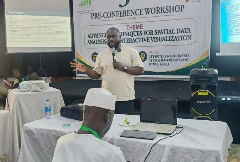
Photo of Dr Edson Utazi presenting a pre conference workshop at CISON 2026

Strengthening statistical capacity at CISON 2026

Last week, I had the privilege of attending the 3rd International Conference of the Chartered Institute of Statisticians of Nigeria (CISON) in Abuja, Nigeria. The conference provided an important platform for discussions on the future of statistics, data science and evidence-based policymaking, bringing together experts from academia, government and industry to share ideas and experiences.

Strengthening statistical capacity at CISON 2026 Read More »

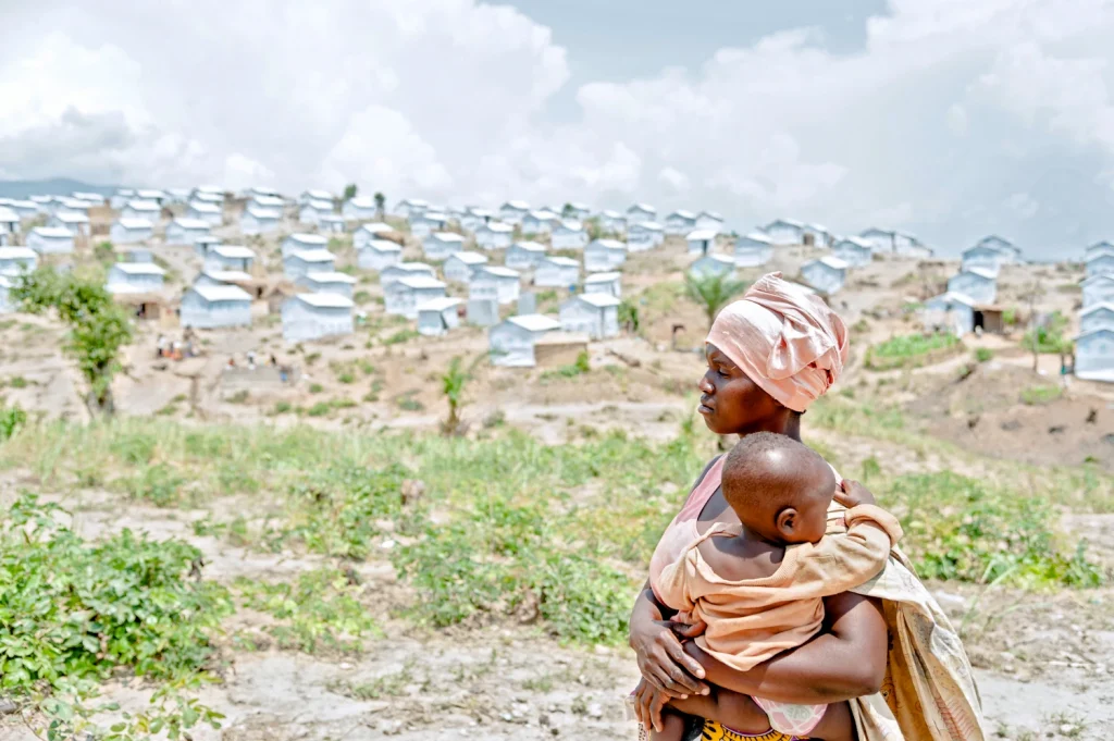
Photo of woman and child at Lusenda camp, DRC

New Geospatial Mapping Tool Transforms Humanitarian Planning

Répondez à notre enquête de satisfaction et contribuez à façonner la suite WorldPop researchers have recently launched a high-resolution data system that harmonises fragmented displacement records to improve humanitarian aid in Nigeria and Democratic Republic of the Congo (DRC). This contemporary dataset allows decision-makers to track the movement of millions of internally displaced persons (IDPs) and returnees with unprecedented

New Geospatial Mapping Tool Transforms Humanitarian Planning Read More »

Photo of Dr Chris Nnanatu presenting at the High Level Engagement meeting.

Mapping Nigeria’s Future: The Road to a Smart National Census

Take Our Survey and Help Shape What Comes Next An important leap toward a modern and credible national census took place recently in Abuja, Nigeria. On April 30, 2026, the Federal Government officially launched an 18-month initiative to consolidate and modernise Nigeria’s national geospatial database. This high-level event brought together key leaders from the National

Mapping Nigeria’s Future: The Road to a Smart National Census Read More »

Photo of Dr Chris Nnanatu with Prince Adeyemi Adeniran, Statistician General, National Bureau of Statistics (pictured centre) and team members from the United Nations Population Fund Nigeria, National Population Commission, National Primary Health Care Development Agency, and Nnamdi Azikiwe University

Strengthening Population Data in Nigeria Through Co-developing Geospatial Innovation

Take Our Survey and Help Shape What Comes Next WorldPop Senior Research Fellow and Head of Spatial Statistics and Population Modelling (SSPM), Dr Chris Nnanatu recently completed a scoping visit to Nigeria as part of preparations for a new collaborative initiative focused on enhancing the country’s population data systems. The visit brought together key national

Strengthening Population Data in Nigeria Through Co-developing Geospatial Innovation Read More »

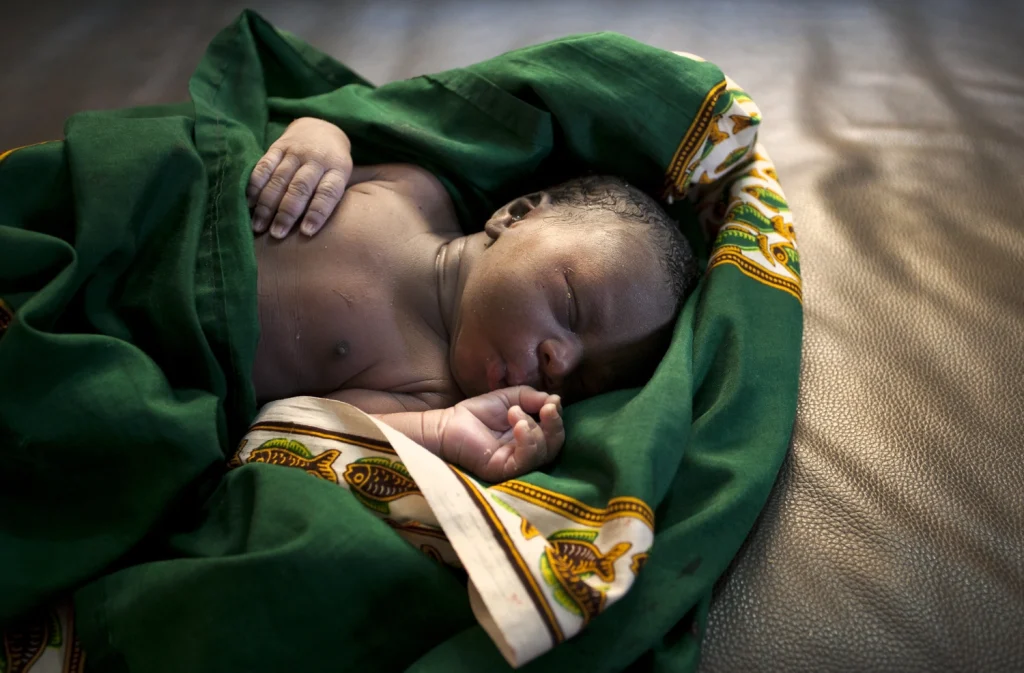
Photo of a newborn boy in a maternity ward

Researchers Reveal 63 Million Women at Risk of Zero Maternal Health Services

Take Our Survey and Help Shape What Comes Next An international research team led by Dr Winfred Dotse-Gborgbortsi, Lecturer in Geographies of Health at University College London and Dr Kristine Nilsen, Associate Professor of Global Health & Social Statistics at the University of Southampton, and including investigators from WorldPop has produced the first high-resolution geospatial mapping of women completely disengaged from life-saving maternal and newborn health services across

Researchers Reveal 63 Million Women at Risk of Zero Maternal Health Services Read More »

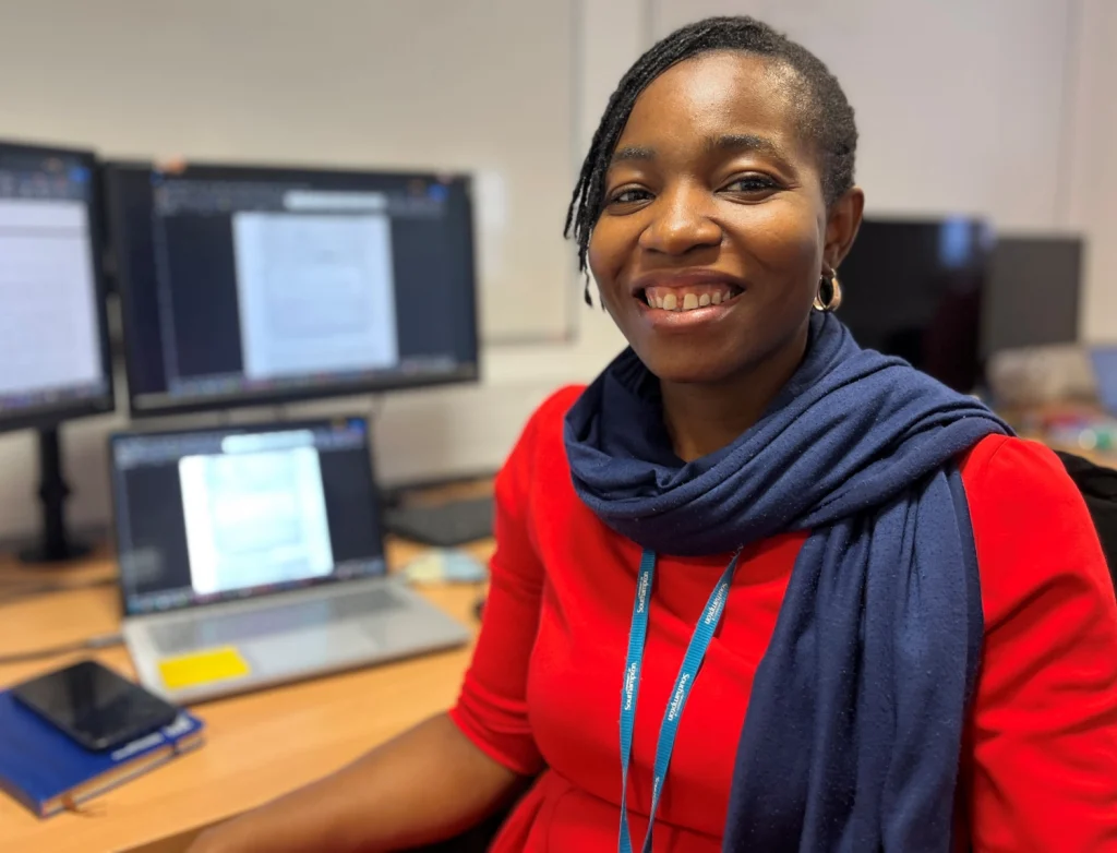
Portrait photograph of Olayinka Oke

Thank You, Olayinka Oke: Advancing Population Science Through Collaboration

Take Our Survey and Help Shape What Comes Next It is always difficult to say goodbye to colleagues who have made a meaningful impact in a short time, and this is certainly the case as we bid farewell to Olayinka Oke following her secondment with us at WorldPop. Olayinka joined us from Nigeria’s National Population

Thank You, Olayinka Oke: Advancing Population Science Through Collaboration Read More »

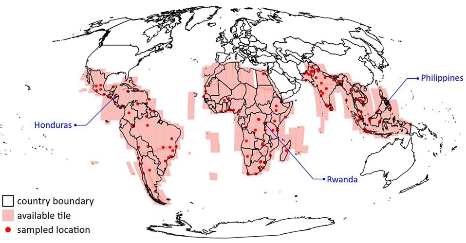
Map showing Coverage of Google Open Buildings Temporal dataset in the global south.

High-Resolution Mapping Sheds Light on Rapid Urban Growth

Take Our Survey and Help Shape What Comes Next Rapid urban growth is reshaping cities across Africa, Latin America and Asia, but in many places, reliable and up-to-date data about how cities are expanding simply doesn’t exist. New research from WorldPop, led by Dr Rhorom Priyatikanto, aims to change that.  The team has developed a new dataset that tracks how

High-Resolution Mapping Sheds Light on Rapid Urban Growth Read More »

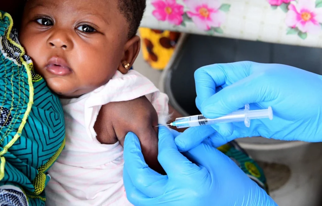
Photo of baby being vaccinated.

Mapping 25 Years of Vaccination Progress in Nigeria: New High-Resolution Insights

At WorldPop, we believe that everyone should count in data – especially the people who are most likely to be missed. That principle is at the heart of a new preprint and open data release we’re excited to share: the most detailed spatiotemporal analysis to date of childhood vaccination coverage in Nigeria, spanning 25 years

Mapping 25 Years of Vaccination Progress in Nigeria: New High-Resolution Insights Read More »