
Tim O'Riordan

Photo of WorldPop Forced Displacement meeting July 2026

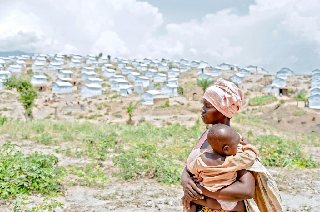
Global Experts Unite to Innovate Forced Displacement Mapping for Humanitarian Aid

Répondez à notre enquête de satisfaction et contribuez à façonner la suite WorldPop recently convened a specialised international team to transform how the world tracks and responds to forced displacement. Experts from UNHCR, IOM, UNICEF, IDMC, FCDO, the IDMC and leading global universities including University fo Oxford, Cambridge, Liverpool and Bristol gathered at the University […]

Global Experts Unite to Innovate Forced Displacement Mapping for Humanitarian Aid Read More »

Photo of Dr Sarchil Qader in discussion with delegates at workshop

WorldPop Joins Technical Experts to Shape 2027 Palestine Population and Housing Census

Répondez à notre enquête de satisfaction et contribuez à façonner la suite WorldPop’s Dr Sarchil Qader joined international experts to develop a roadmap for the 2027 Palestine Population and Housing Census in early July. During the consultative workshop in Amman, Jordan organised by the Palestinian Central Bureau of Statistics (PCBS) and the United Nations Population Fund (UNFPA), the mission focused on delivering accurate and contemporary data vital

WorldPop Joins Technical Experts to Shape 2027 Palestine Population and Housing Census Read More »

Photo of cyclist in flooded street

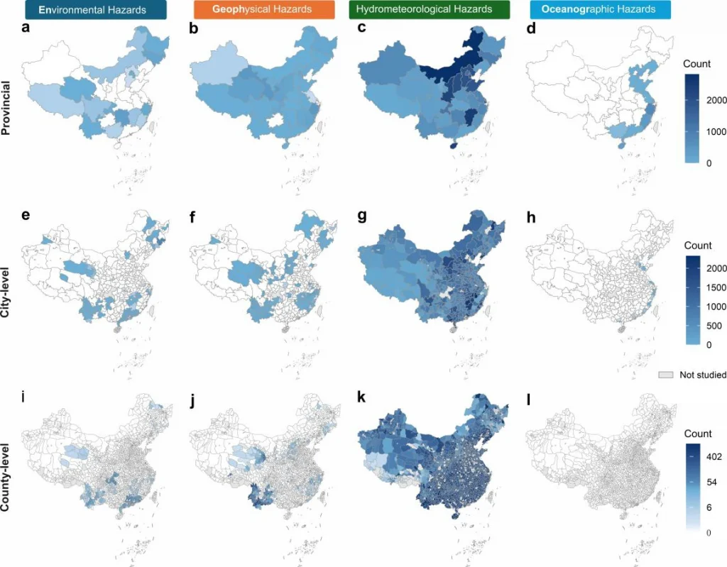
Stronger Intercity Ties Boost Urban Resilience to Extreme Weather

Répondez à notre enquête de satisfaction et contribuez à façonner la suite Strong intercity connections are a key factor in helping urban areas recover faster from devastating floods. A new study published in Nature Climate Change reveals that cities with robust ties to major economic hubs bounce back more quickly when extreme rainfall strikes. This research, led by WorldPop Research Fellow Dr Haiyan Liu,

Stronger Intercity Ties Boost Urban Resilience to Extreme Weather Read More »

Photo of Qianwen Duan presenting at DEBIAS 2026

WorldPop Research Informs New Standards for Bias-Adjusted Digital Data at DEBIAS 2026

Répondez à notre enquête de satisfaction et contribuez à façonner la suite Dr Qianwen Duan, Research Assistant at WorldPop, recently joined international experts at the DEBIAS Workshop and Symposium to develop rigorous new standards for correcting bias in digital mobility data. This partnership works to ensure that the digital trace data used for global policy and humanitarian interventions is both representative and

WorldPop Research Informs New Standards for Bias-Adjusted Digital Data at DEBIAS 2026 Read More »

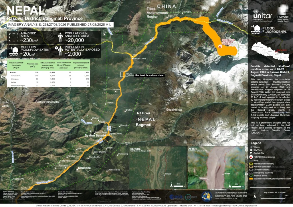
Impact map of Venezuela earthquake 24-06-2026

WorldPop Open population data supports humanitarian response after Venezuela earthquakes

Répondez à notre enquête de satisfaction et contribuez à façonner la suite When two powerful earthquakes struck near Yumare, Venezuela, on 24 June, humanitarian responders needed to understand quickly how many people had been affected and where support would be needed most. Open population data from WorldPop helped provide those critical early insights.  The earthquakes, measuring magnitude 7.2 and 7.5 just

WorldPop Open population data supports humanitarian response after Venezuela earthquakes Read More »

Photo of Andy Tatem presenting at DAC2026

From Maps to Impact at DAC2026: How WorldPop Population Data is Powering Smarter Health Decisions in DHIS2

Répondez à notre enquête de satisfaction et contribuez à façonner la suite Last week at the DHIS2 Annual Conference 2026 in Oslo, WorldPop team members Andy Tatem and Heather Chamberlain showcased how WorldPop data are now integrated into DHIS2 systems, driving transformations in public health and humanitarian decision-making. Speaking in the Maps, GIS, and Population

From Maps to Impact at DAC2026: How WorldPop Population Data is Powering Smarter Health Decisions in DHIS2 Read More »

Map showing aggregated incidence of COVID-19 confirmed infection from community transmission from June 2020 to June 2021, Dakar, Senegal

New Disease Mapping Identifies COVID-19 Hotspots in Dakar to Guide Public Health Interventions

Take Our Survey and Help Shape What Comes Next A new study by an international team of researchers has successfully mapped the neighbourhood-level spread of COVID-19 in Dakar, Senegal, revealing that high-density residential areas in the city’s west face the greatest risk of infection. The research, led by WorldPop Research Fellow, Dr Assane Gadiaga at the University of Southampton

New Disease Mapping Identifies COVID-19 Hotspots in Dakar to Guide Public Health Interventions Read More »

Dr Edson Utazi presenting at GEOMED 2026

WorldPop Showcases Data-Driven Solutions to Global Health Challenges at GEOMED 2026

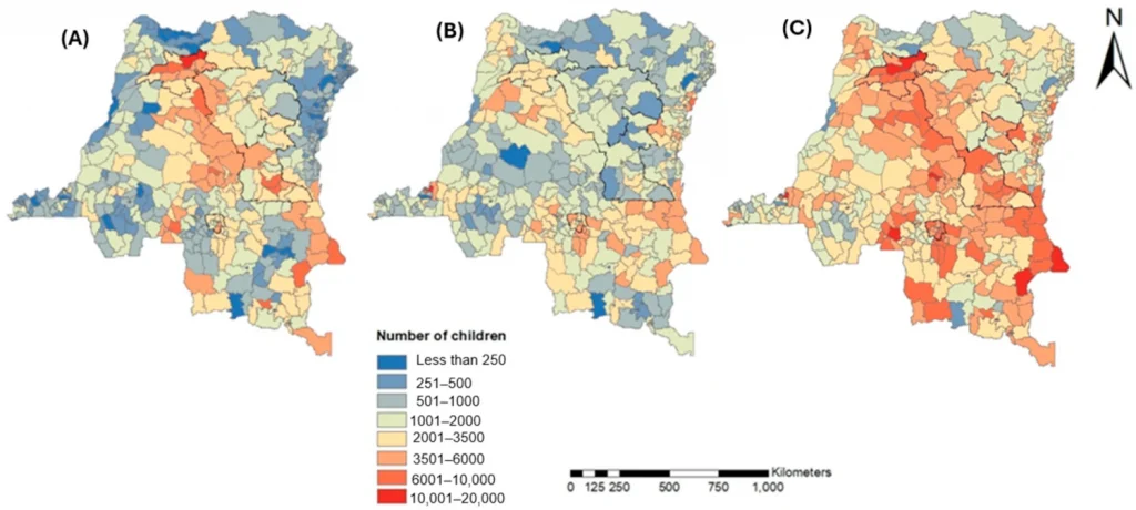
Take Our Survey and Help Shape What Comes Next Last week, WorldPop researchers demonstrated how advanced geospatial mapping and machine learning can solve critical global health challenges, from tracking viral tourism trends to reaching “zero-dose” children. Presenting at the GEOMED 2026 conference at the Public University of Navarre, Pamplona, Spain, Dr Edson Utazi, Krishnaveni KS

WorldPop Showcases Data-Driven Solutions to Global Health Challenges at GEOMED 2026 Read More »

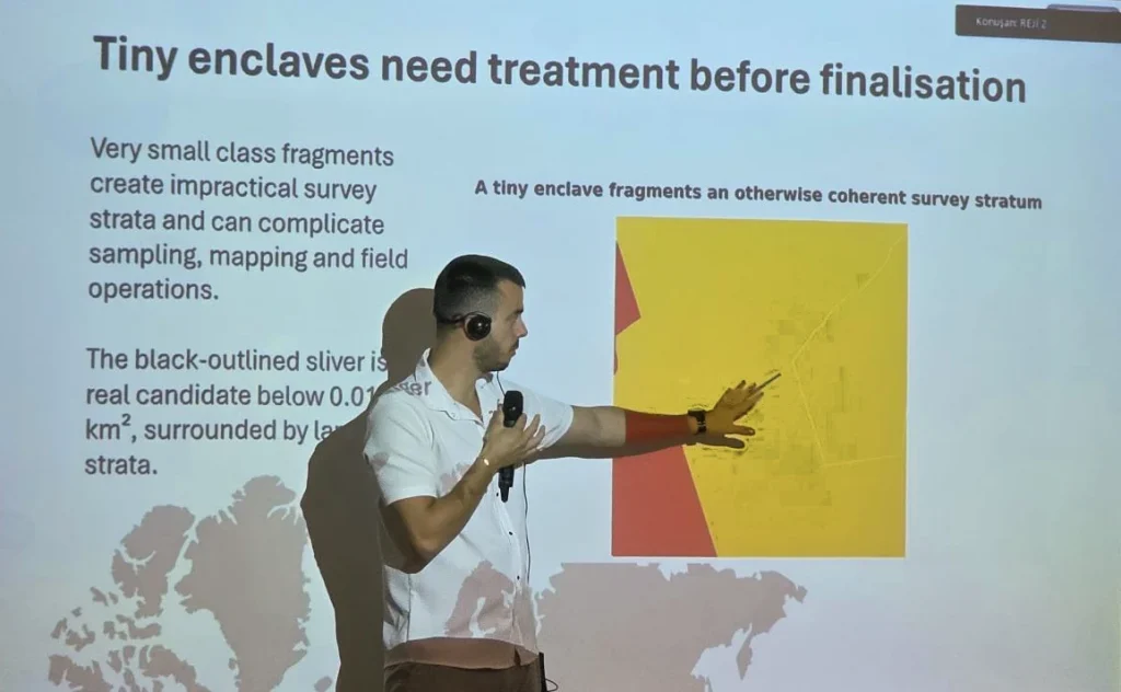
Photo of Dr Sarchil Qader, Tuli Amutenya and Ian Coady at the 2026 Global Data Festival in Nairobi.

WorldPop Experts Pioneer the Future of Population Intelligence at 2026 Global Data Festival

Take Our Survey and Help Shape What Comes Next During the 2026 Global Data Festival in Nairobi, WorldPop researchers showcased how high-resolution geospatial mapping and artificial intelligence are transforming the way nations count and improve outcomes for their citizens. The event, which was held jointly with the Kenya Space Expo & Conference, brought together international

WorldPop Experts Pioneer the Future of Population Intelligence at 2026 Global Data Festival Read More »

Screen capture of graphic from ArcGIS Scene Viewer of Global Projected Count of Children Under Age 5 for 2030 derived from 1-km cell size WorldPop Global2.

WorldPop Global 2 Demographic Data Now in ArcGIS Living Atlas 

Take Our Survey and Help Shape What Comes Next Access to high-quality demographic data is often one of the biggest barriers to evidence-based decision-making. Whether supporting health service planning, humanitarian response, infrastructure investment, or climate adaptation, organisations need population data that is both current and spatially detailed.  That is why we are pleased to see

WorldPop Global 2 Demographic Data Now in ArcGIS Living Atlas  Read More »