
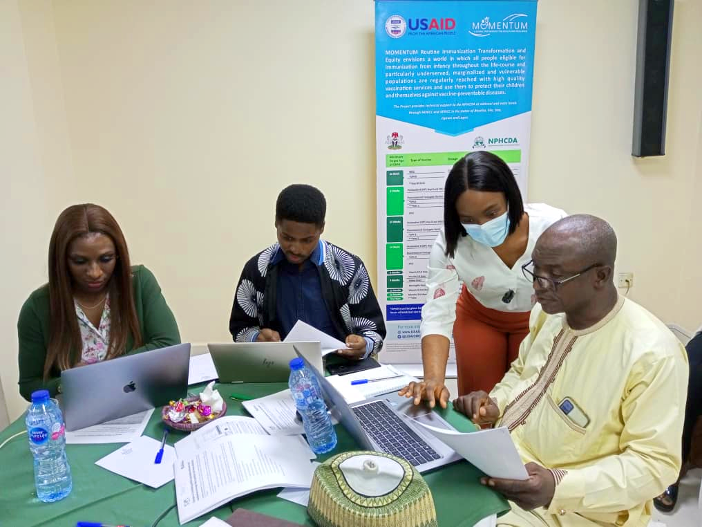
To strengthen in-country capacity, WorldPop, supported by Gavi, recently conducted two capacity-strengthening workshops in Nigeria. Our geospatial experts Dr Edson Utazi and Iyanuloluwa Olowe led sessions focused on methodologies for producing gridded estimates of vaccination coverage and identifying zero-dose children. 38 participants from 11 organisations including the National Primary Health Care Development Agency, MOMENTUM Routine Immunization Transformation and Equity, and the African Field Epidemiology Network attended training sessions aimed at enhancing participants’ skills in geospatial analysis and improving vaccination coverage estimation methodologies.
Mr Sulaiman Etamesor, head of the National Emergency Routine Immunization Coordination Centre data team, delivered the opening speech and emphasised the workshop’s importance in identifying and reaching zero-dose children in Nigeria. Participant feedback revealed participants’ appreciation for the sessions, particularly highlighting the value of QGIS training.

After the workshop plans were made for follow-up training sessions later this year, further collaboration on research to improve coverage estimates, and establishing a geospatial community of practice. Plans also included exploring advanced methods for health facility catchment area delineation and harmonizing zero-dose analysis. Future workshops may address additional topics identified by participants, such as remote sensing, machine learning, and tracking mobile populations.
Background
Through our Gavi-funded VaxPop Nigeria II project we are providing technical assistance and capacity strengthening to the Nigerian government on vaccination coverage estimation and related analyses to support the country’s immunization program. Over the last few years, WorldPop have undertaken geospatial analyses of household survey data including the Demographic and Health Surveys (2013, 2018), Multiple Indicator Cluster Surveys (2016/17 and 2021), and Post-Campaign Coverage Surveys (2017-18, 2019, 2021) to map multiple indicators of vaccination coverage for different age groups of children and spatial scales of interest (e.g., districts, wards, and health facility catchment areas) in Nigeria. These maps are used to evaluate vaccination coverage at resolved spatial scales, estimate the numbers of zero-dose children through integration with relevant population data, prioritise subnational areas for routine immunization interventions, and assess the relative performance of vaccination strategies in Nigeria through triangulation with disease surveillance data.