WorldPop News

Aerial photograph of Accra, Ghana

Population modelling and mapping workshop supports health planning in Ghana

Next week we welcome health statisticians and planners from Ghana to a bespoke 5 day workshop on population modelling and mapping for health, hosted by the School of Geography and Environmental Sciences at the University of Southampton as part of our Countdown to 2030 project. Participants from the University of Ghana, the Ghana Health Service […]

Population modelling and mapping workshop supports health planning in Ghana Read More »

GRID3 consultant Chisenga Musuka with printed microplanning map used by Ministry of Health EPI teams for vaccination planning, Lusaka, Zambia

Capacity strengthening in Papua New Guinea and Zambia

WorldPop works with government and non-government agencies in low- and middle-income countries to improve capability in statistical methods of population estimation methods that support achievement of Sustainable Development Goals. This week we have two teams providing in-country training – in Port Moresby, Papua New Guinea and Lusaka, Zambia. Dr Hal Voepel (WorldPop) presenting an introductory

Capacity strengthening in Papua New Guinea and Zambia Read More »

Winfre Dotse-Gborgbortsi receiving runner-up prize at the ESRC Celebrating Impact Prize 2022 ceremony

WorldPop researcher celebrated for outstanding Early Career impact

Spatial Epidemiologist, PhD researcher and WorldPop colleague Winfred Dotse-Gborgbortsi was awarded runner-up prize at the prestigious ESRC Celebrating Impact Prize 2022 ceremony at the Royal Society last night. Winfred had been nominated as one of two candidates for the Outstanding Early Career Impact award for his work on Geospatial analysis for Ghanaian maternal healthcare delivery

WorldPop researcher celebrated for outstanding Early Career impact Read More »

Slide: Demographic Data Challenges

Video: Understanding population distributions supports health programmes, census preparation and disaster response

Professor Andy Tatem recently spoke at a virtual event on Geospatial for sustainable agriculture and urban development in Africa organised by The Food and Agriculture Organization of the United Nations (FAO). In this recording of his presentation, Professor Tatem gives an overview of our work and shares examples of the impact of our collaborations with UN

Video: Understanding population distributions supports health programmes, census preparation and disaster response Read More »

Sarchil Qader presenting the preEA tool, Benin

Benin adopts WorldPop’s ‘preEA’ tool to conduct its first modern, digitised census

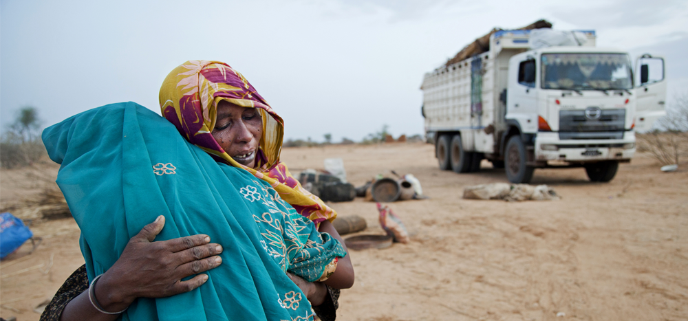
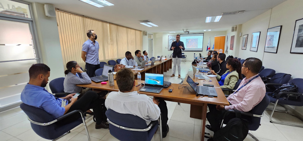
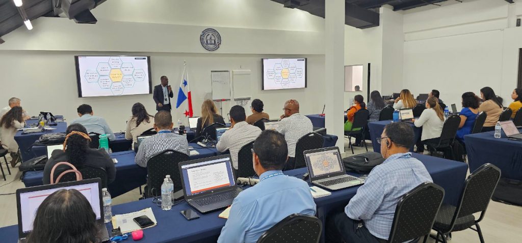
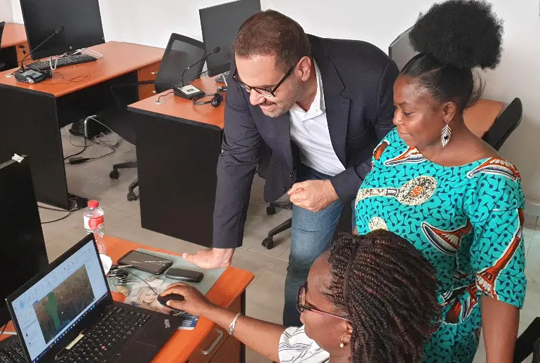
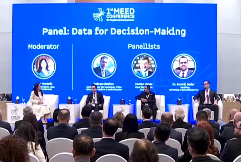
Senior Research Fellow Dr Sarchil Qader has recently returned from Benin following three weeks providing intensive GIS training and engaging in field work to assist the country’s National Institute of Statistics and Demography (INStaD), National Institute of Geography (IGN) and the University of Abomey Calavi (UAC), as this west African country prepares for its upcoming

Benin adopts WorldPop’s ‘preEA’ tool to conduct its first modern, digitised census Read More »

Edith Darin presenting at IBGE workshop 2022

Working with Brazil’s National Statistics Office as they prepare for their biggest ever census

As Brazil prepares for its biggest ever census, WorldPop Research Fellow Edith Darin presented on bottom-up population modelling last month as part of a two-week workshop at the Instituto Brasileiro de Geografia e Estatística (IBGE, the Brazilian Statistics Office) in Rio de Janeiro. Edith’s contribution came at an important milestone for the IBGE. In August

Working with Brazil’s National Statistics Office as they prepare for their biggest ever census Read More »

Field surveyors carrying out data collection in wheat field

Exploring satellite datasets and advanced statistical models to estimate crop production in Iraq

Ensuring food security and shaping policy intervention require accurate and timely mapping and monitoring of agricultural dynamics and production. Many low- and middle-income countries do not have sufficient information on agricultural outputs to inform policy decisions and enable field monitoring – especially at the level of individual farms.  This lack of high spatial resolution data

Exploring satellite datasets and advanced statistical models to estimate crop production in Iraq Read More »