Mapping People, Powering Response: WorldPop’s Work in Focus
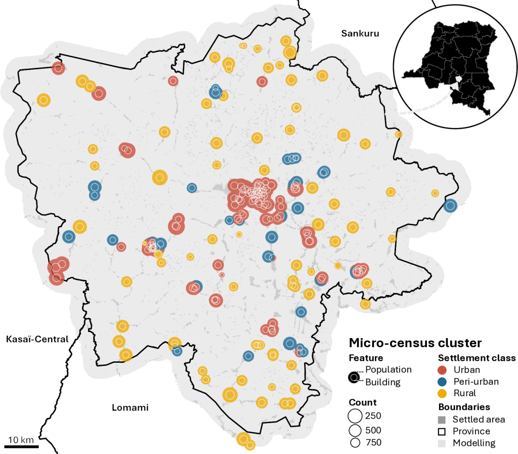
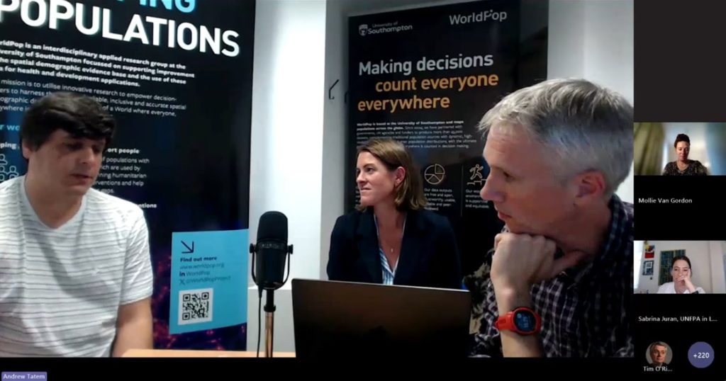
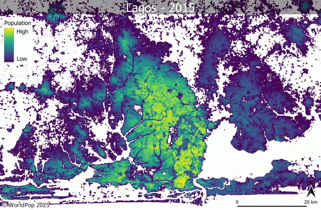
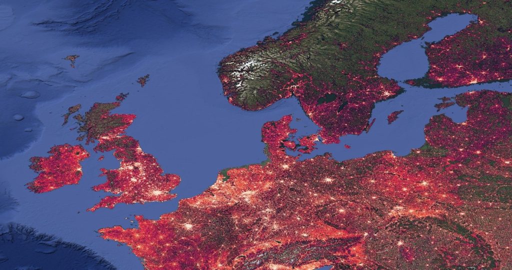
Last month, Principal Enterprise Fellow, Dr Natalia Tejedor Garavito showcased WorldPop’s innovative work at CrisisReady’s Café Catastrófico webinar series. Dr Tejedor Garavito spoke on how WorldPop helps countries, especially those with limited resources, to answer a critical question: where are people, and how many are there? Using satellite imagery, mobile data, and advanced statistical models, […]
Mapping People, Powering Response: WorldPop’s Work in Focus Read More »