Methods

Photo of Dr Chris Nnanatu presenting at the High Level Engagement meeting.

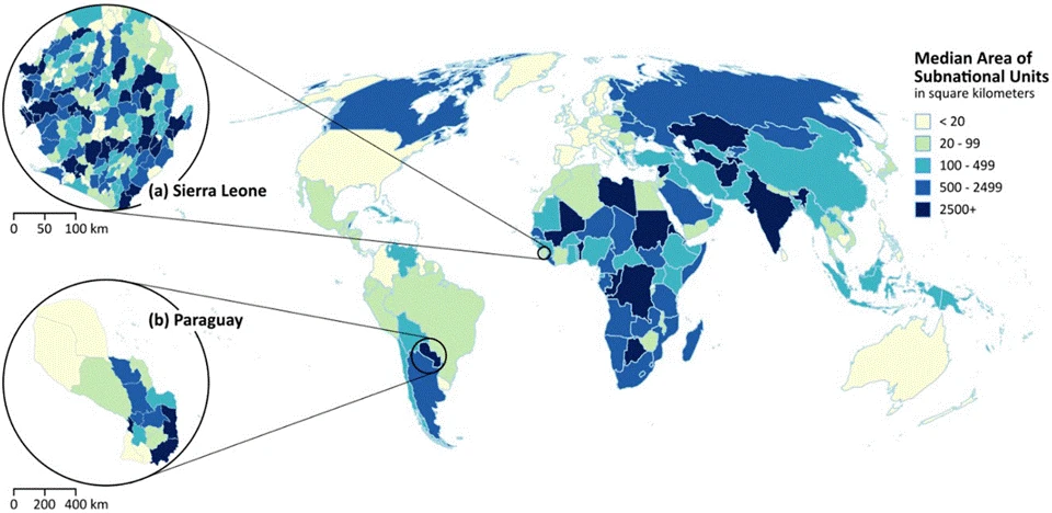
Mapping Nigeria’s Future: The Road to a Smart National Census

Take Our Survey and Help Shape What Comes Next An important leap toward a modern and credible national census took place recently in Abuja, Nigeria. On April 30, 2026, the Federal Government officially launched an 18-month initiative to consolidate and modernise Nigeria’s national geospatial database. This high-level event brought together key leaders from the National […]

Mapping Nigeria’s Future: The Road to a Smart National Census Read More »

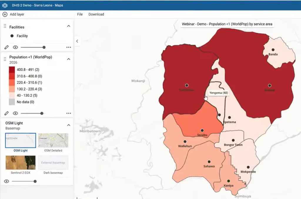
DHIS2 webinar screen capture

New webinar showcases how geospatial data reaches zero-dose children in remote regions

Take Our Survey and Help Shape What Comes Next Last week, the DHIS2 community broadcast a significant webinar detailing how high-resolution WorldPop population data has been integrated into the DHIS2 platform. This digital integration is transforming how life-saving vaccines are delivered in low- and middle-income countries. With WorldPop’s 100m population grid cells now integrated in

New webinar showcases how geospatial data reaches zero-dose children in remote regions Read More »

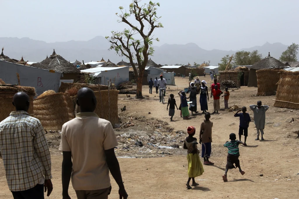
Photo of Minawao refugee camp, Cameroon

New geospatial method transforms how refugee populations are counted and surveyed 

Take Our Survey and Help Shape What Comes Next WorldPop researchers have developed a faster, more accurate way to build national survey frameworks that better represent displaced populations, which is addressing a long-standing gap in humanitarian data. The study introduces a geospatial approach that enables governments and international organisations to identify and include refugees in

New geospatial method transforms how refugee populations are counted and surveyed  Read More »