
WorldPop researchers have developed a faster, more accurate way to build national survey frameworks that better represent displaced populations, which is addressing a long-standing gap in humanitarian data. The study introduces a geospatial approach that enables governments and international organisations to identify and include refugees in household surveys with far greater precision than traditional methods.
At the centre of this work is Dr Sarchil Qader, Senior Research Fellow at WorldPop, whose contribution has been pivotal in bridging advanced spatial modelling with real-world survey needs. By integrating high-resolution refugee population estimates with automated mapping techniques, the team has demonstrated a scalable method for constructing sampling frames tailored to vulnerable subgroups.
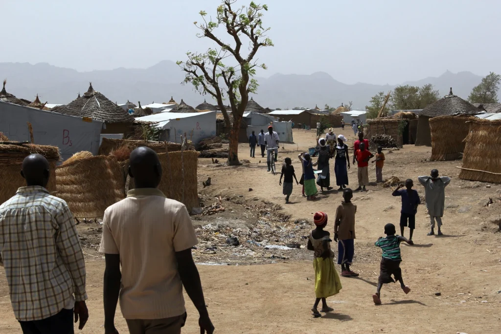
The automatic creation of customised sampling frame leveraged the innovative geospatial modelling to estimate refugee populations in grid cells as small as 100 metres developed in the first stage of the project. This allows researchers to identify where displaced people are most likely to live, including those outside formal camps. In Cameroon, the method revealed that nearly half of refugees are in rural areas, with the rest split between camps and cities.
The system is also more efficient. Traditional methods of designing survey areas can take years and cost millions. This approach uses automation to produce results in a fraction of the time and cost, making it especially valuable for low- and middle-income countries.
By improving how populations are mapped, the method can support better decision-making – from delivering aid to planning public services – ensuring that vulnerable communities are not overlooked.
The research, titled Developing a Customized, Enumeration Area-Based Sampling Frame Tailored to a Specific Population Subgroup Using Geospatial Methods, was conducted by an international collaboration including the University of Southampton’s WorldPop group and partners from humanitarian organisations. Funding was provided through the UNHCR Data Innovation Fund.
Learn more
- Mapping refugee populations at high resolution by unlocking humanitarian administrative data (first project stage published in Journal of International Humanitarian Action)
- Exploring the automatic pre-Enumeration Areas Tool for surveys on forced displacement (Refugees)
- Benin adopts WorldPop’s ‘preEA’ tool to conduct its first modern, digitised census (WorldPop)
- Field Testing preEAs in the Democratic Republic of Congo (WorldPop)
- WorldPop Open Data
- WorldPop Free Learning Resources