Tim O'Riordan

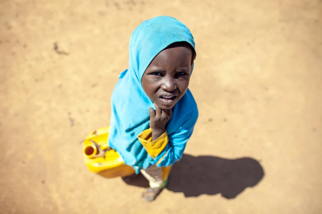
Photo of Child fetching water in northwest Somalia

WorldPop Open Data Helps UNICEF Pinpoint Children’s Climate Vulnerability

Take Our Survey and Help Shape What Comes Next UNICEF is launching the Global Child Hazard Database (GCHD) at London Climate Action Week later this month. The GCHD initiative provides globally standardised datasets on children’s exposure to overlapping climate and environmental risks. The project aims to provide timely and accurate data to support informed decision-making and policy advocacy for the world’s youth.  Central to this […]

WorldPop Open Data Helps UNICEF Pinpoint Children’s Climate Vulnerability Read More »

Graphic showing geographic distribution of median area sizes of subnational units in the input population data for the Global Subnational Demographic Dataset 2010–2030

Mapping a World in Transition: New Study Lays Foundation for WorldPop Global 2 Population Data 

Take Our Survey and Help Shape What Comes Next WorldPop researchers at the University of Southampton have published the methodology behind the massive subnational dataset used to power Global 2 – our latest high-resolution mapping of the human population.  The new article, published as a preprint in VeriXiv, details how the team harmonised and projected population data for more than 716,000 subnational administrative units across

Mapping a World in Transition: New Study Lays Foundation for WorldPop Global 2 Population Data  Read More »

Photo of Professor Andy Tatem at the WorldPop 10th Anniversary event, 9 October 2024.

WorldPop Director Named Among Top Global Scientists in Environmental Sciences

Take Our Survey and Help Shape What Comes Next Professor Andy Tatem, Director of WorldPop at the University of Southampton, has been recognised as a global research leader in the field of environmental sciences. Academic rankings and researcher profile platform Research.com has awarded Professor Tatem the 2026 Environmental Sciences in United Kingdom Leader Award, ranking him 10th in the

WorldPop Director Named Among Top Global Scientists in Environmental Sciences Read More »

Photo of young men sitting close to a fishing river in South Sudan

Presenting New Research on Eradicating Guinea Worm Disease

Take Our Survey and Help Shape What Comes Next Last week, Research Fellow Dr Somnath Chaudhri presented new research on mapping the risks of Guinea Worm Disease across Sub-Saharan Africa at the Intelligent Systems for Vector-Borne Disease Study Group Meeting held at The Hanse-Wissenschaftskolleg, Institute for Advanced Study in Delmenhorst, Germany.  The presentation focused on how spatial

Presenting New Research on Eradicating Guinea Worm Disease Read More »

Screen capture of Lagos, Nigeria population pyramid.

Open-access WorldPop data reveals hidden demographic trends across 10,000 cities

Take Our Survey and Help Shape What Comes Next High-resolution data from WorldPop is uncovering critical demographic shifts in over 10,000 cities that national averages often hide. The study, led by Dr Andrew Zimmer and published in Nature Cities, provides a globally consistent view of urban change between 2000 and 2020.  Researchers used WorldPop’s anonymised and aggregated gridded population distributions to track age and sex

Open-access WorldPop data reveals hidden demographic trends across 10,000 cities Read More »

Bangkok, Thailand

AI-driven mapping to ensure no one is left behind in rapidly growing cities

Take Our Survey and Help Shape What Comes Next WorldPop have launched a new artificial intelligence framework project to test methods for mapping urban populations with improved accuracy. This initiative aims to ensure that vulnerable residents in low- and middle-income countries are accurately represented in vital decision-making processes, from vaccine distribution to disaster response.  In

AI-driven mapping to ensure no one is left behind in rapidly growing cities Read More »

Global map showing estimated fine scale economic activity for 2024 using 2023 where unavailable

Mapping the World in Greater Detail: Why the World Bank’s New AI Research Matters 

Take Our Survey and Help Shape What Comes Next A new World Bank policy research working paper demonstrates how artificial intelligence and open geospatial data can help governments understand economies at a far more detailed local level.  Many important statistics, such as GDP, poverty, infrastructure access, or disaster risk, are usually reported only at national

Mapping the World in Greater Detail: Why the World Bank’s New AI Research Matters  Read More »

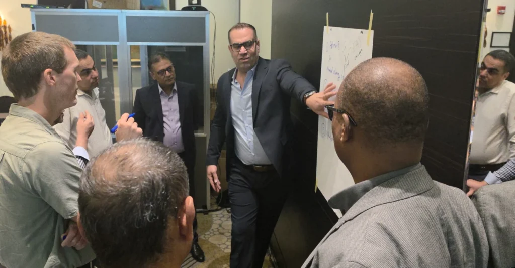
Photo of Dr Thea Woods, Dr Lawrence Hawker, Heather Chamberlain and Dr Evgeny Noi at EGU26 General Assembly

Mapping Vulnerability: Researchers Present New Climate and Population Data at EGU26

Take Our Survey and Help Shape What Comes Next Improving accuracy in geospatial data is transforming how we protect vulnerable populations from climate-driven disasters. Earlier this month, a team of researchers from WorldPop and the FuturePop project presented pioneering research at the EGU26 General Assembly in Vienna, Austria. From tracking flood-induced displacement in India to

Mapping Vulnerability: Researchers Present New Climate and Population Data at EGU26 Read More »

Photo of a street scene in Zanzibar

How AI and Data of Population Dynamics Could Help Eliminate Malaria

Take Our Survey and Help Shape What Comes Next Artificial intelligence is already reshaping fields like finance, transportation, and medicine. Now it is being deployed against one of humanity’s oldest and deadliest diseases: malaria.  With funding provided by the Web Science Institute, WorldPop is applying its AI and spatial demography and epidemiology expertise to a

How AI and Data of Population Dynamics Could Help Eliminate Malaria Read More »

Photo of Dr Edson Utazi presenting at the 2026 Guinea Worm Eradication Program (GWEP) Research Review meeting

High-resolution mapping identifies Guinea worm hotspots to support global eradication

Take Our Survey and Help Shape What Comes Next WorldPop Associate Professor, Dr Edson Utazi presented Mapping the Risk of Guinea Worm Disease project findings last week at the 2026 Guinea Worm Eradication Program (GWEP) Research Review meeting, organised by The Carter Center. The meeting brought together experts from across the world working in areas such as genomics, geospatial

High-resolution mapping identifies Guinea worm hotspots to support global eradication Read More »