Strengthening Data Systems Together: WorldPop Meets the DHIS2 Team in Oslo
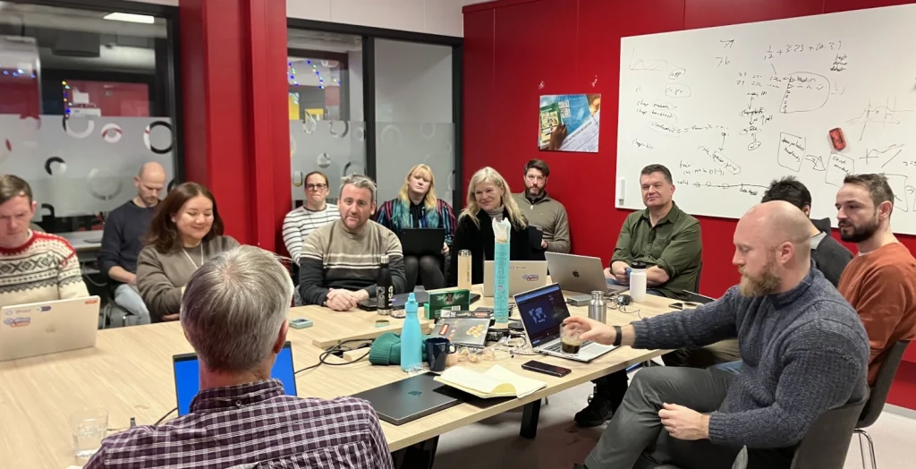
Last week, the WorldPop senior team met with their counterparts at DHIS2 at their headquarters in the University of Oslo. The conversations marked an important moment to step back from day-to-day technical work and focus on the bigger picture: how population data and digital administrative systems can work together to support better public services worldwide. […]
Strengthening Data Systems Together: WorldPop Meets the DHIS2 Team in Oslo Read More »