mapping

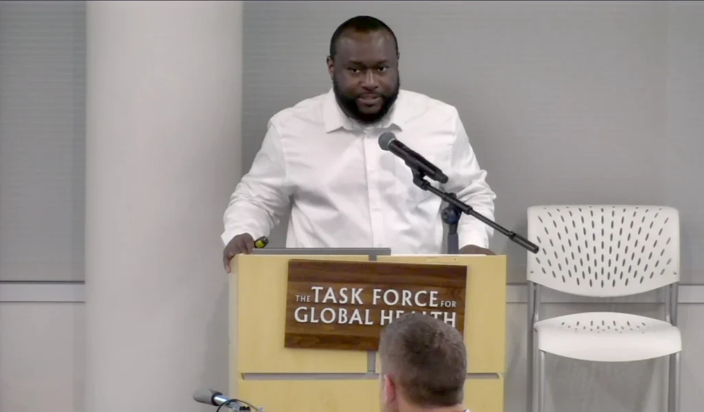
Photo of Dr Edson Utazi presenting at the 2026 Guinea Worm Eradication Program (GWEP) Research Review meeting

High-resolution mapping identifies Guinea worm hotspots to support global eradication

Take Our Survey and Help Shape What Comes Next WorldPop Associate Professor, Dr Edson Utazi presented Mapping the Risk of Guinea Worm Disease project findings last week at the 2026 Guinea Worm Eradication Program (GWEP) Research Review meeting, organised by The Carter Center. The meeting brought together experts from across the world working in areas such as genomics, geospatial […]

High-resolution mapping identifies Guinea worm hotspots to support global eradication Read More »

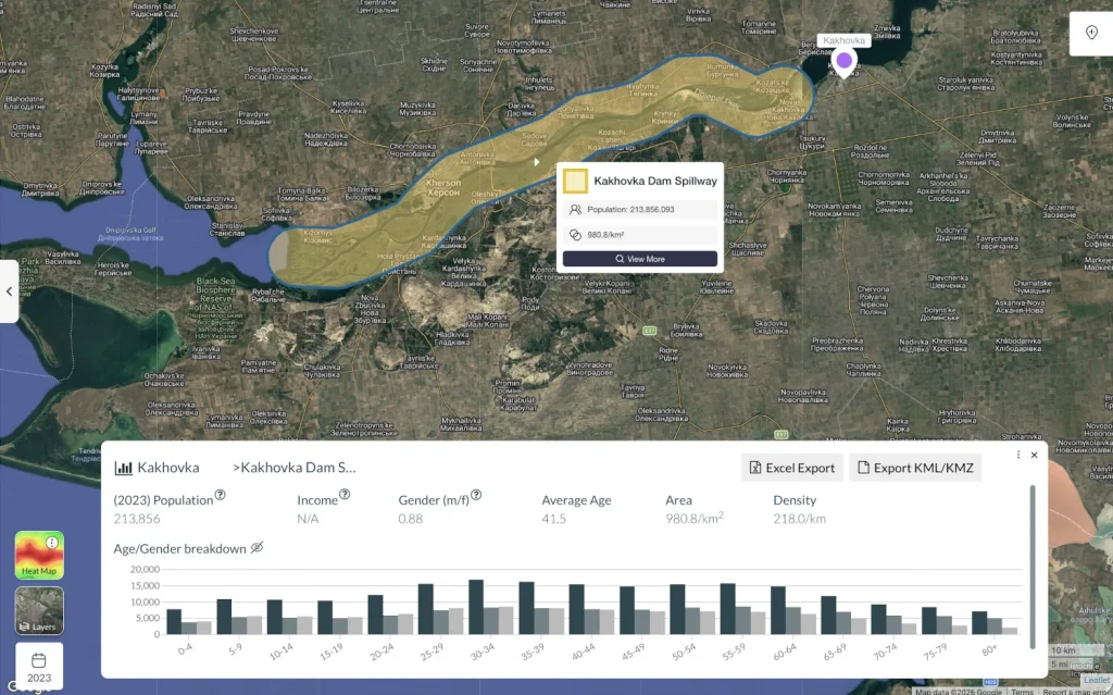
Screen capture of Population Explorer interface

How Population Explorer Turns WorldPop Open Data into Action  

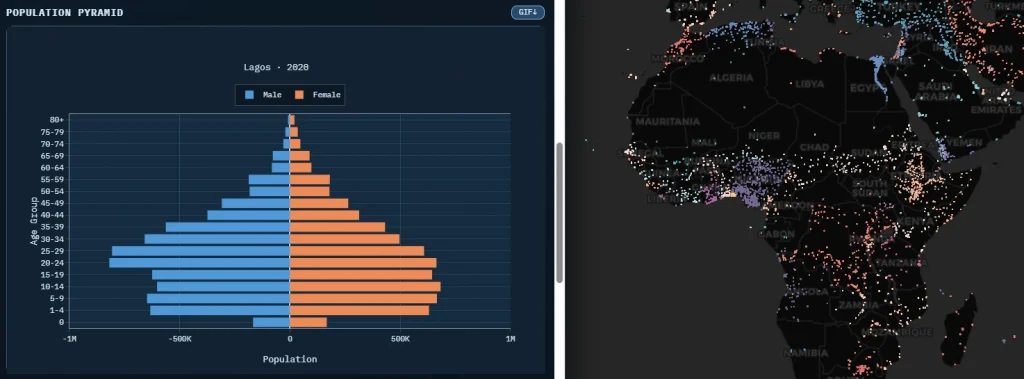
Take Our Survey and Help Shape What Comes Next Understanding where people live is critical in high-stakes situations. In humanitarian crises, it determines where aid goes; in commercial contexts, it shapes investment decisions. The core need is the same: accurate, granular population insight that can be used quickly. Co-founded by US-based data for development practitioner

How Population Explorer Turns WorldPop Open Data into Action   Read More »

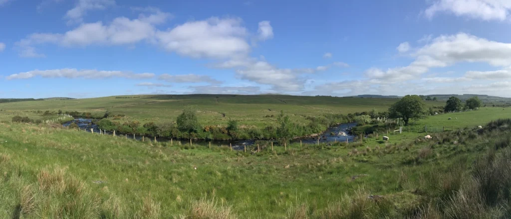
Photograph of the Leaghany River from Ballymongan Road, Tyrone

WorldPop researchers improve mapping accuracy for rare habitats

Take Our Survey and Help Shape What Comes Next Researchers at WorldPop have pioneered a new mathematical model that significantly improves the accuracy of geospatial mapping for rare and endangered habitats.  The study, published in the International Journal of Geographical Information Science, introduces the Entropogram-based Random Field (ERF) model. This tool addresses a critical gap in environmental monitoring: the

WorldPop researchers improve mapping accuracy for rare habitats Read More »

Photo of health worker preparing a vaccine injection for a waiting mother and child

New high-resolution mapping reveals critical measles vaccination gaps in children

Take Our Survey and Help Shape What Comes Next A team of international researchers led by WorldPop Associate Professor Edson Utazi, has developed a new geospatial mapping method to identify exactly where and at what age children are missing life-saving measles vaccines. Accurate and contemporary data is essential for the success of immunisation programs in

New high-resolution mapping reveals critical measles vaccination gaps in children Read More »

Photo of Data Science Nigeria 2025 conference hall

The Future is Geospatial: Powering Africa’s Growth with Location Intelligence

On Tuesday, October 21, Senior Research Fellow Dr. Chris Nnanatu delivered a keynote presentation at the 2025 Data Science Nigeria AI Bootcamp, where he spoke on a topic shaping Africa’s digital future: “The Future is Geospatial: Powering Africa’s Growth with Location Intelligence (LI).” Dr. Nnanatu explored how geospatial and artificial intelligence (AI) technologies are transforming

The Future is Geospatial: Powering Africa’s Growth with Location Intelligence Read More »

Photo of street scene in Dhaka, Bangladesh

Advancing Wastewater Surveillance and Population Mapping at Dhaka Stakeholder Engagement Meeting

Dr Somnath Chaudhuri, Research Fellow at WorldPop, recently visited Dhaka to participate in a key stakeholder engagement meeting for the Gates Foundation-funded project Blue Line Tracing and Wastewater Surveillance in Dhaka. The initiative, a multi-institutional collaboration involving icddr,b (formerly known as the International Centre for Diarrhoeal Disease Research, Bangladesh), the University of Virginia, Imperial College

Advancing Wastewater Surveillance and Population Mapping at Dhaka Stakeholder Engagement Meeting Read More »