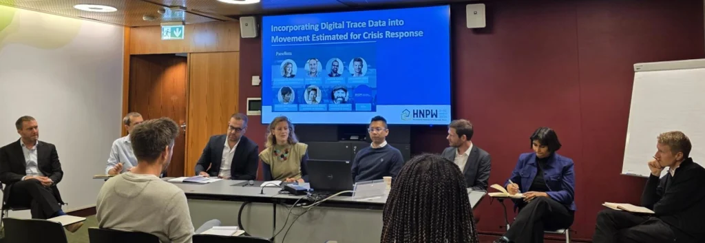
Using Digital Trace Data to Understand Human Movement in Crises
Take Our Survey and Help Shape What Comes Next At this year’s Humanitarian Networks and Partnerships Week in Geneva, a session explored how emerging digital data sources could help humanitarian organisations better understand how people move during crises. Representing WorldPop, Dr Sarchil Qader joined a panel examining how signals from mobile phones, online platforms, and other connected […]
Using Digital Trace Data to Understand Human Movement in Crises Read More »