preEA

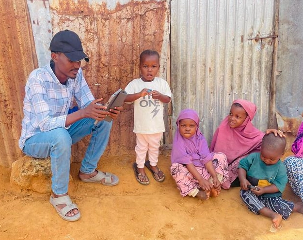
Photo of data collection, Kahda, Somalia SNBS, 2025

Supporting Groundbreaking Data Initiative in Somalia

A major breakthrough in data collection and analysis is underway in Somalia, thanks in large part to the technical leadership of WorldPop in a transformative new project aimed at strengthening evidence-based planning in one of the world’s most data-scarce countries.  The initiative, “Generation of Socio-Demographic Data for Evidence-Based Programming in South-Central Somalia,” marks the first […]

Supporting Groundbreaking Data Initiative in Somalia Read More »

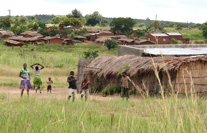
Photo of a Malawi village.

WorldPop Brings Cutting-Edge Mapping Technology to Support Malawi’s 2028 Census

A new international partnership launched today between WorldPop at the University of Southampton and the UK Office for National Statistics (ONS) is set to support the National Statistics Office (NSO) of Malawi in planning its 2028 national census, by introducing innovative, automated mapping methods that significantly reduce cost and effort. At the heart of the

WorldPop Brings Cutting-Edge Mapping Technology to Support Malawi’s 2028 Census Read More »

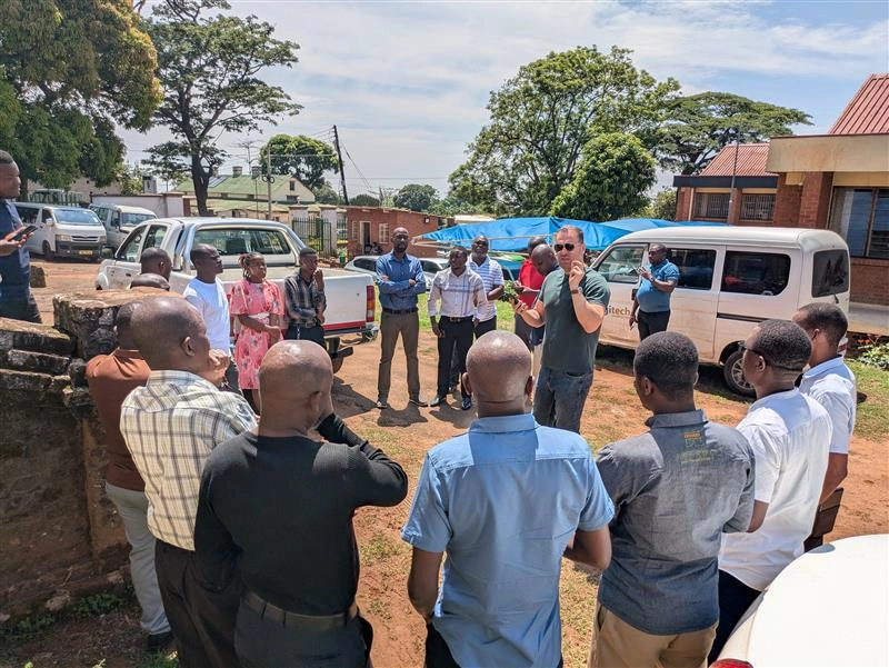
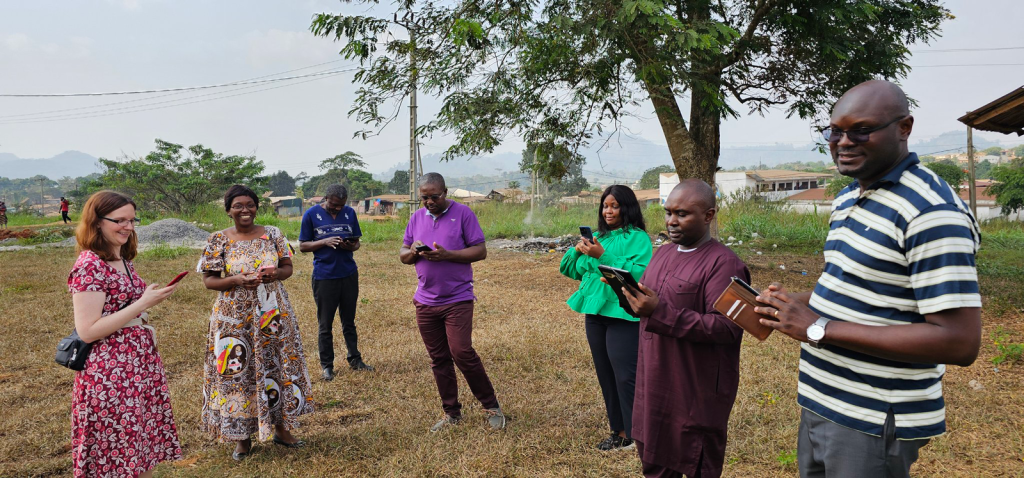
Research Fellow Dr Aubrey Steingraber guides workshop participants practice with geospatial tools to validate preEA boundaries and collect GPS household locations

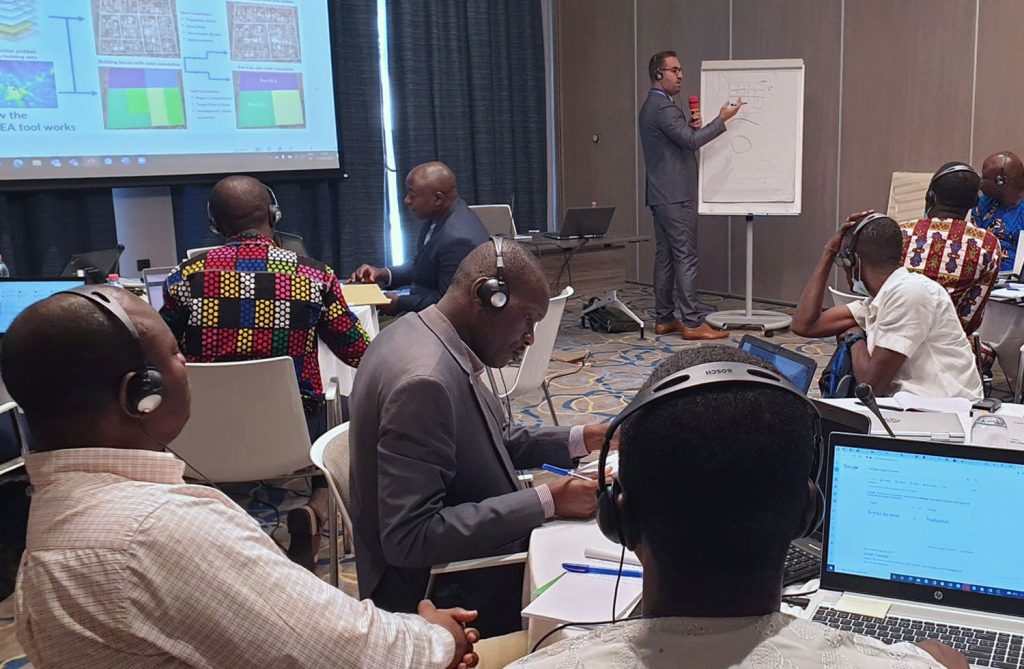
Preparing a National Sampling Frame: capacity strengthening in Cameroon

Senior Researcher Dr Sarchil Qader and Specialist GIS Technician Dr Aubrey Steingraber have recently returned from Cameroon where they conducted an 8-day workshop and high-level engagement to support the development of a national sampling frame for the country. The lack of an up-to-date national sampling frame that accurately lists the businesses and household addresses needed

Preparing a National Sampling Frame: capacity strengthening in Cameroon Read More »