open data

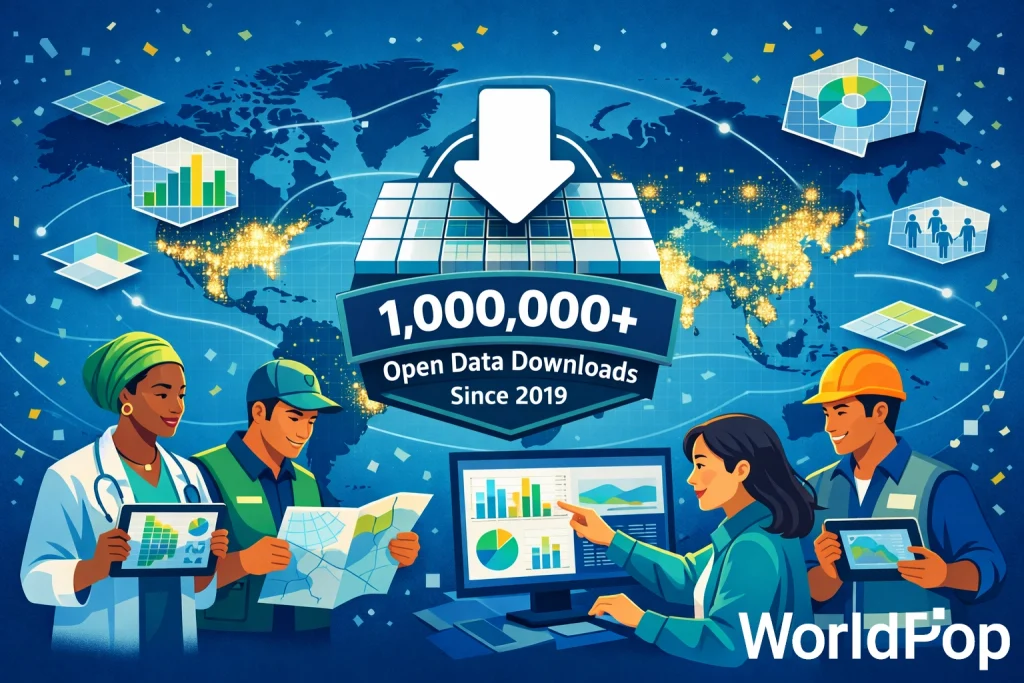
AI generated image showing public health analysts, humanitarian responders, researchers, and urban planners using tablets, maps, and data dashboards, illustrating real-world impact. Caption reads "1,000,000+ open data downloads since 2019"

Celebrating a Milestone: 1 Million Downloads and Counting

We’re thrilled to celebrate a major milestone in our mission to ensure that everyone, everywhere is counted in decision-making. Since 2019, our open spatial demographic datasets have reached over 1 million downloads from our own site – adding to the hundreds of thousands more from our data hosting partners including HDX, ESRI’s Living Atlas, and […]

Celebrating a Milestone: 1 Million Downloads and Counting Read More »
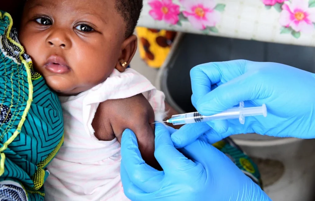
Photo of baby being vaccinated.

Mapping 25 Years of Vaccination Progress in Nigeria: New High-Resolution Insights

At WorldPop, we believe that everyone should count in data – especially the people who are most likely to be missed. That principle is at the heart of a new preprint and open data release we’re excited to share: the most detailed spatiotemporal analysis to date of childhood vaccination coverage in Nigeria, spanning 25 years

Mapping 25 Years of Vaccination Progress in Nigeria: New High-Resolution Insights Read More »

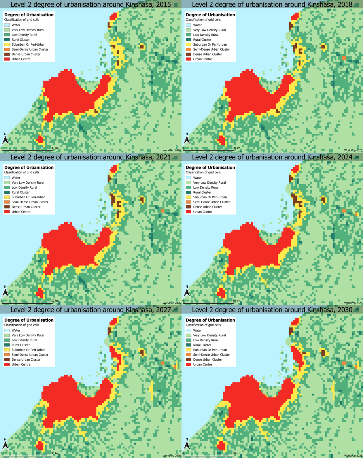
Animation showing level 2 degree of urbanisation around Kinshasa, 2015-30

Mapping People, Places and Change: Exploring WorldPop’s Latest Global Data Releases

Understanding where and how populations are distributed, and how they shift over time, is at the heart of planning for health services, responding to disasters, designing cities, and tackling global challenges like climate change. WorldPop’s mission has always been to make high-resolution population and demographic data openly available, and the latest batch of global datasets

Mapping People, Places and Change: Exploring WorldPop’s Latest Global Data Releases Read More »

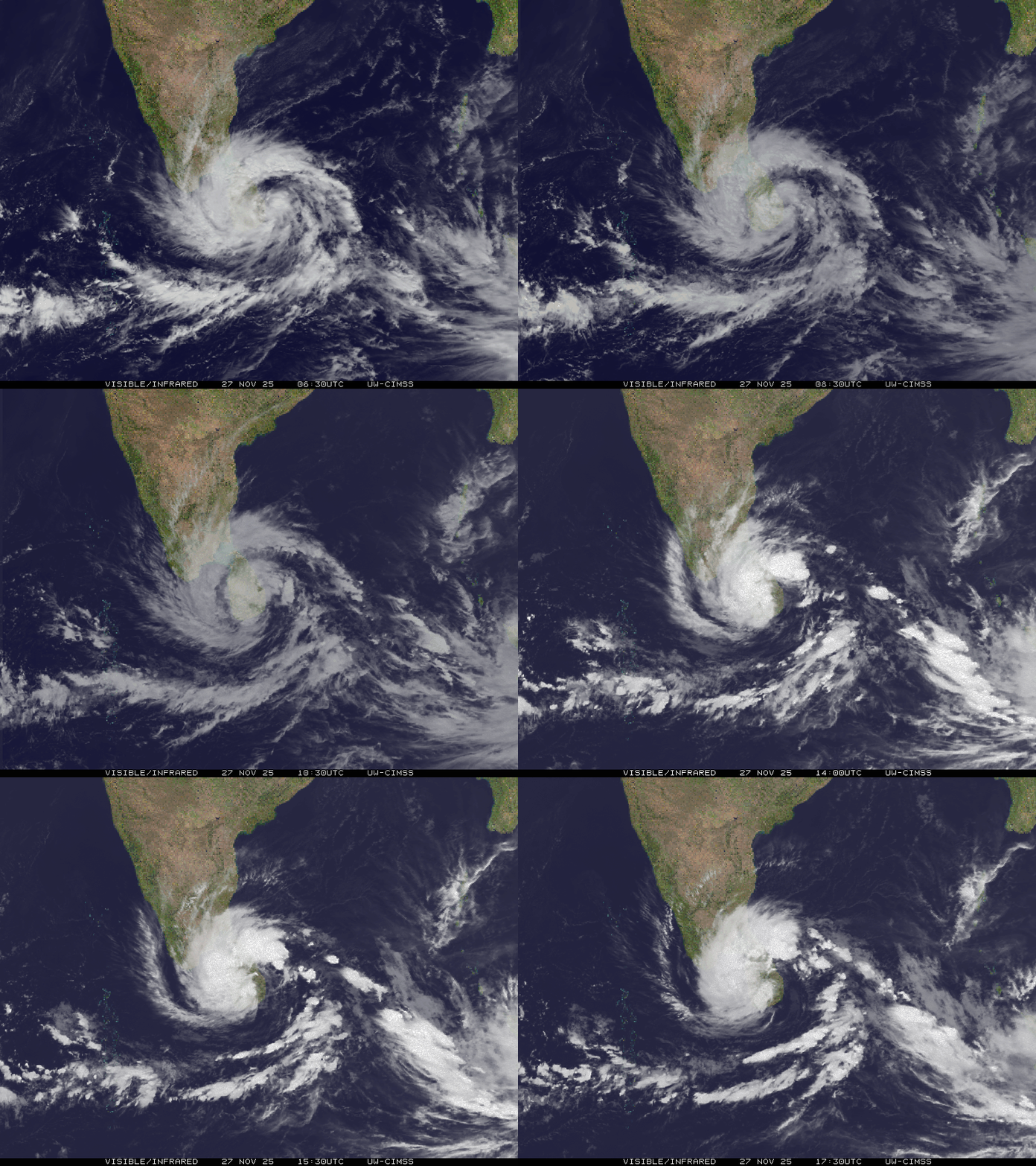
Visible infrared satellite loop of Cyclone Ditwah, by SSEC/CIMSS, University of Wisconsin–Madison

How Open Population Data Makes a Difference in Crisis Response

In major disasters, rapid response depends on two critical pieces of information: how many people are affected and where they are. This knowledge enables responders to prioritise aid delivery to the most vulnerable populations. Recent evidence from Sri Lanka shows that open population data from WorldPop helps answer these questions quickly and reliably. Cyclone Ditwah

How Open Population Data Makes a Difference in Crisis Response Read More »

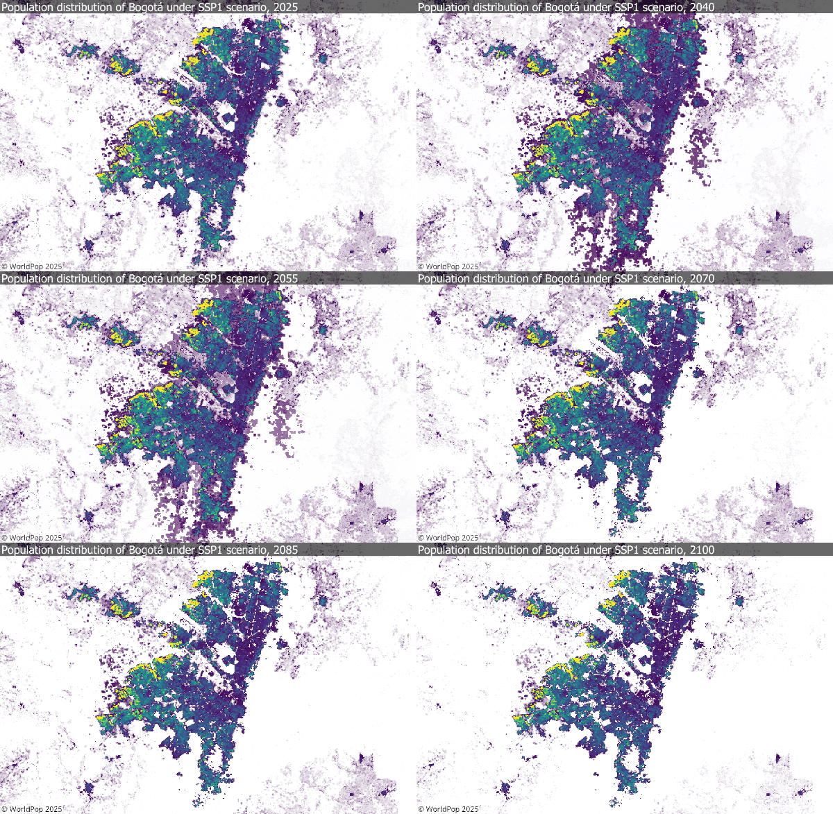
Animation showing population distribution of Bogata under SSP1 scenario, 2025-2100

New Global 1 km Population Projections Released to Advance Climate and Health Research (Version 0.2)

As part of the Wellcome-funded FuturePop project, WorldPop has recently released a new open access dataset. The data includes gridded global population distribution maps at ~1 km resolution (30 arc-seconds) for every 5-year interval from 2025 through 2100, under each of the five Shared Socioeconomic Pathway (SSP) scenarios (SSP1-5). The projections feed into the Coupled

New Global 1 km Population Projections Released to Advance Climate and Health Research (Version 0.2) Read More »

AI art image of globe on a stage with 'Global 2' sign watched by a large audience

Discover the Power of Population Data: Join Our Upcoming Webinar

We’re thrilled to announce the launch of a ground-breaking open-access collection of high-resolution global demographic datasets (“Global 2”), available from 4 September 2025. Developed by the WorldPop programme at the University of Southampton, this new release delivers annual, age- and sex-disaggregated population estimates for 2015–2030, covering 242 countries and territories. This marks a major step

Discover the Power of Population Data: Join Our Upcoming Webinar Read More »