DRC

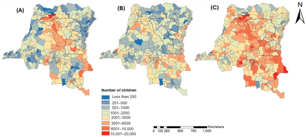
Maps showing estimated spatial distribution of DTP vaccination gaps among children aged

New detailed maps reveal where children are missing out on vaccines

New research recently published in Vaccines maps childhood vaccination gaps across the Democratic Republic of the Congo (DRC) in far greater detail than before. Led by WorldPop researcher KS Krishnaveni, the study reveals important local variations in vaccination coverage across the DRC, providing precise, location-specific information to help immunisation programme managers and policymakers identify coverage […]

New detailed maps reveal where children are missing out on vaccines Read More »
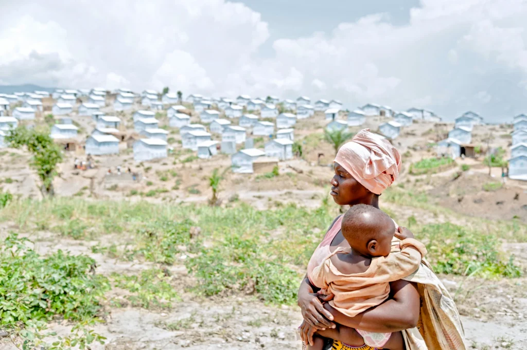
Photo of woman and child at Lusenda camp, DRC

New Geospatial Mapping Tool Transforms Humanitarian Planning

Répondez à notre enquête de satisfaction et contribuez à façonner la suite WorldPop researchers have recently launched a high-resolution data system that harmonises fragmented displacement records to improve humanitarian aid in Nigeria and Democratic Republic of the Congo (DRC). This contemporary dataset allows decision-makers to track the movement of millions of internally displaced persons (IDPs) and returnees with unprecedented

New Geospatial Mapping Tool Transforms Humanitarian Planning Read More »

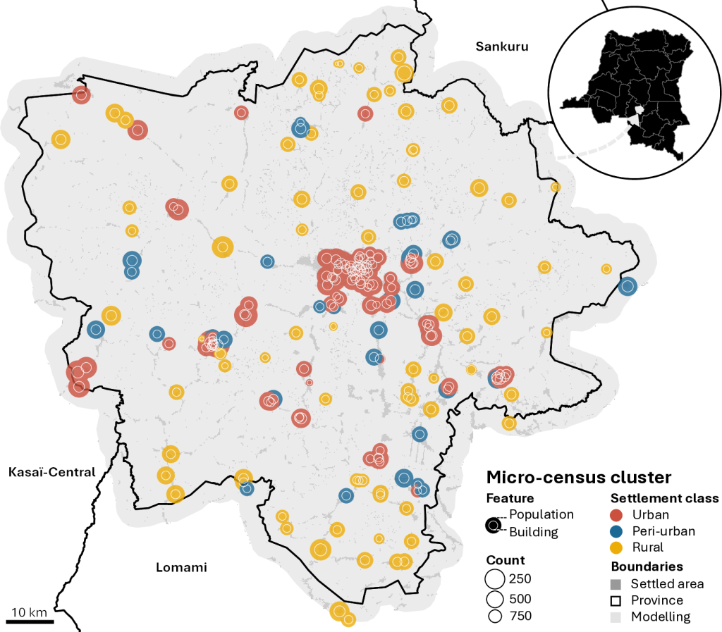
Map showing building and population counts observed in the 213 micro-census clusters located within the modelling environment categorised by settlement class

Further Improvement for Public Health Planning: WorldPop Brings High-Resolution Population Estimates to DRC

A new study led by Senior Research Fellow, Dr Gianluca Boo has introduced a powerful new Bayesian model to estimate population distribution in Kasaï-Oriental province, Democratic Republic of the Congo (DRC), offering critical insights in a region where public health data has long been scarce. At the heart of this advanced research is a method

Further Improvement for Public Health Planning: WorldPop Brings High-Resolution Population Estimates to DRC Read More »