
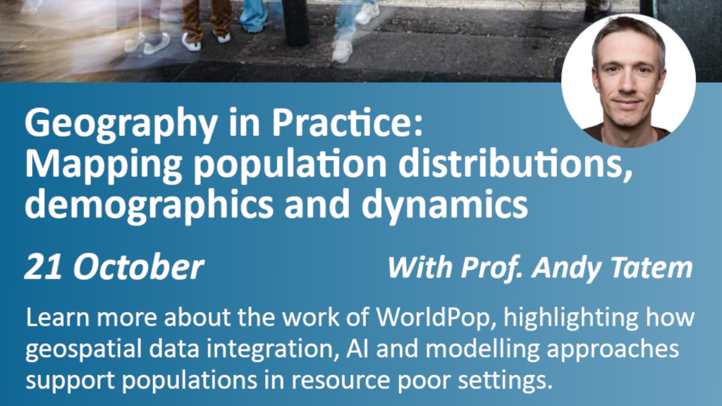
How do you plan health services, disaster response or vaccination campaigns when you do not know exactly where people live? That was the challenge explored by Professor Andy Tatem, Director of WorldPop at the University of Southampton, during a recent Royal Geographical Society (RGS) Geography in Practice webinar.
WorldPop combines satellite imagery, building footprint data, mobile phone information and demographic statistics to produce detailed population estimates for areas where census data may be outdated, incomplete or unavailable. The approach helps governments, humanitarian organisations and international agencies make better-informed decisions on everything from healthcare and education to disaster response.
During the webinar, Professor Andy Tatem highlighted how WorldPop data is already supporting vaccination campaigns, health information systems, census planning and emergency response across countries including Afghanistan, Nigeria, South Sudan and Malawi. He noted that these geospatial approaches have helped improve vaccine delivery, support official statistics production and guide the planning of future censuses.
The webinar demonstrated how openly available WorldPop data and tools are helping to address one of the world’s most persistent information gaps: understanding where people live and how populations are changing. As traditional data collection faces growing challenges, geospatial innovations are providing increasingly valuable evidence for more equitable and effective decision-making.
Key questions from participants
Prof Tatem explained that WorldPop aims to build local capacity rather than provide permanent external support. He highlighted a successful model in Latin America and the Caribbean, where national statistics offices, UNFPA and regional partners now support one another through an established network, reducing dependence on external experts.
Yes. While population mapping remains the core focus, WorldPop is also exploring how geospatial data can be used to identify informal settlements and estimate indicators related to poverty, wealth and living conditions. However, Prof Tatem noted that uncertainty increases when predicting socioeconomic characteristics rather than population counts alone.
The answer varies significantly between countries. Professor Tatem noted that capacity is growing rapidly, with strong expertise emerging through national statistics offices, universities and organisations such as Data Science Nigeria. However, reductions in funding for data collection and training programmes remain a challenge.