
For many Pacific Island nations, life happens close to the coast. Understanding how many people live near shorelines is essential for planning services, preparing for hazards, and responding to the impacts of climate change. Using WorldPop open data, a new regional assessment is now providing a clearer picture than ever before.
The updated 2026 coastal population methodology introduces major improvements in how Pacific coastal populations are mapped. Researchers at the Pacific Data Hub have replaced older coastline data with a high-resolution Pacific Coastlines dataset developed through remote sensing and optimised for Pacific Island geographies.
A key part of the update is the use of more detailed population data. For countries where national high-resolution population grids were unavailable, the methodology draws on WorldPop’s 100-metre Population Grids, helping to improve estimates of how populations are distributed across islands and coastal zones.
The team also introduced more precise geospatial processing methods that dynamically project island groups into local coordinate systems. This allows coastal population estimates to be calculated more accurately within 1km, 5km and 10km of the coastline while reducing spatial distortion.
Comparisons with earlier estimates show that differences are generally greatest within the narrowest 1km coastal zone, where improved coastline definitions and finer-resolution population data have the biggest impact.
Together, these advances demonstrate how high-resolution population datasets, including WorldPop data, can help governments and organisations better understand where people live and support evidence-based planning for Pacific coastal communities.
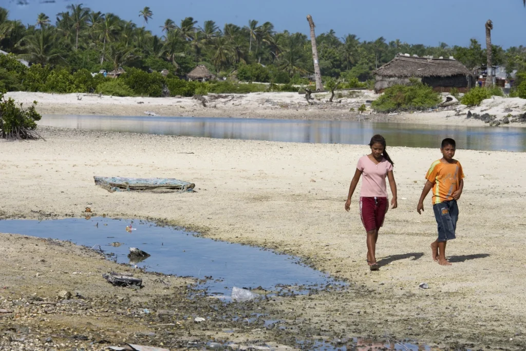
Headline image: Locals in Tebikenikora, a village in the Pacific island nation of Kiribati, UN Photo/Eskinder Debebe, 2011, CC BY-NC-ND 2.0