
Rapid urban growth is reshaping cities across Africa, Latin America and Asia, but in many places, reliable and up-to-date data about how cities are expanding simply doesn’t exist. New research from WorldPop, led by Dr Rhorom Priyatikanto, aims to change that.
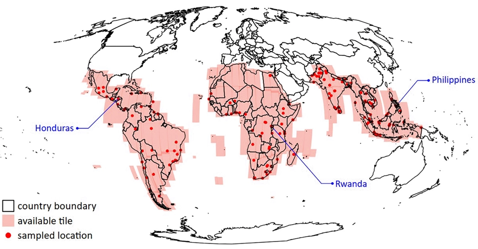
The team has developed a new dataset that tracks how buildings have changed year by year between 2016 and 2023. Using the Google Open Buildings Temporal dataset, which is based on satellite imagery from the Sentinel-2 programme, they computed building counts, heights and total built-up areas across large parts of the Global South. The result is a detailed multi-year view of how urban areas are evolving across entire continents.
As populations grow, many cities are expanding vertically as well as horizontally. In fast-growing urban areas understanding where and how buildings are appearing can provide valuable insight into where people are likely living, especially where census data may be outdated or incomplete. This kind of information is crucial for urban planning, infrastructure development and public service delivery.
The dataset provides annual estimates of building counts, building heights and total built-up space. The researchers found a strong relationship between the number of buildings and independent population estimates, suggesting that building data can serve as a useful proxy in places where official statistics lag behind rapid development.
Beyond planning, the data has important implications for disaster preparedness. Detailed knowledge of building density and structure height can help authorities assess exposure to hazards such as floods and earthquakes and improve emergency response strategies.
Because satellite-derived building heights can show short-term fluctuations due to technical factors, the team applied mathematical smoothing techniques to clarify long-term trends. This makes it easier to distinguish genuine structural change from noise in the data.
According to Dr Priyatikanto, this is the first time such consistent, high-resolution information on urban building characteristics has been made available across multiple years and across entire regions of the Global South. By making urban growth visible in near-real time, the dataset provides a powerful new tool for understanding how cities are changing – and for planning more resilient futures.
Learn more
- High Spatial Resolution Building Characteristics for the Global South: Insights from the Google Open Buildings Temporal Dataset (2016-2023) (preprint – VeriXiv)
- Python scripts employed to acquire and process OBT data from Google Earth Engine (GitHub)
- Final data products covering 131 countries (ePrints, University of Southampton)
- How WorldPop Uses Google Open Buildings Data (BBC R4 Tech Life)
- Geospatial Tools & Services
GIS services, APIs and plugins supporting national statistical offices and partners. - WorldPop Learning Resources
Build your geospatial skills with free, expert-led, self-paced materials.