From Maps to Impact at DAC2026: How WorldPop Population Data is Powering Smarter Health Decisions in DHIS2
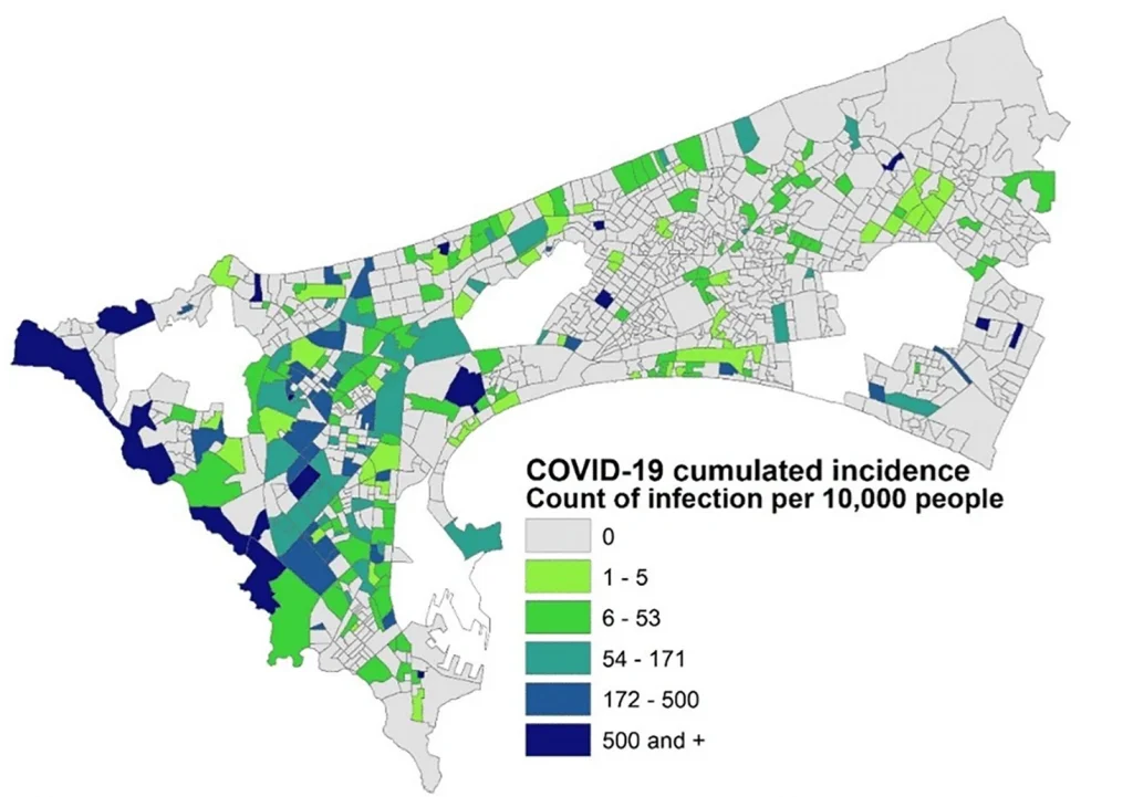
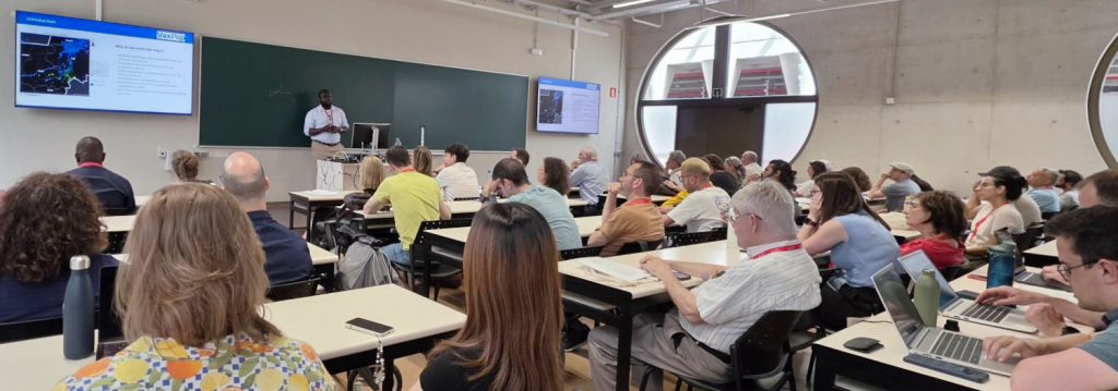
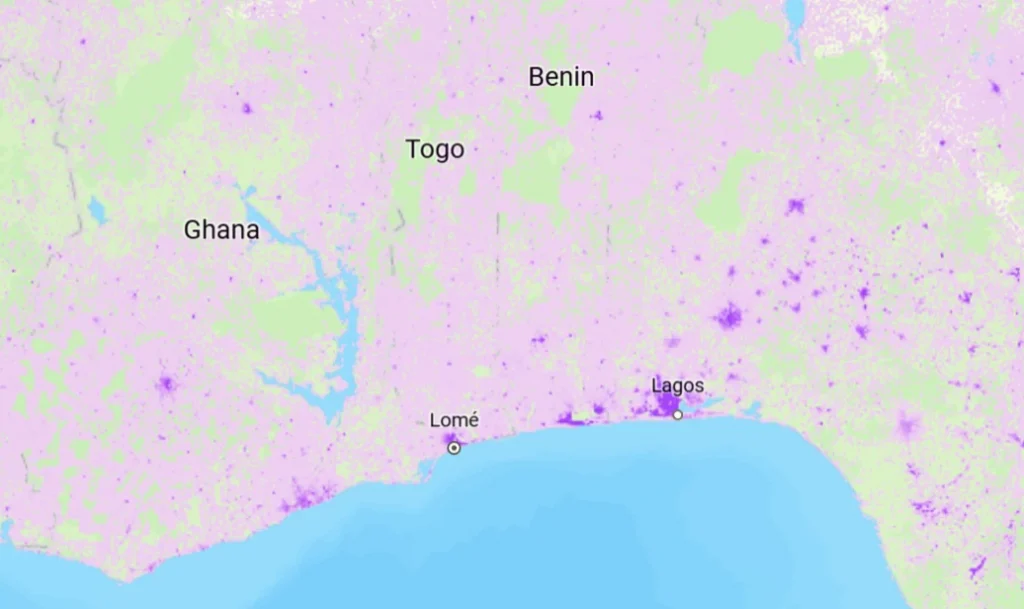
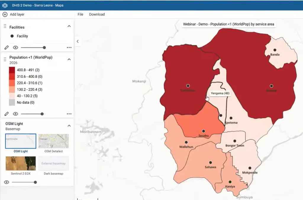
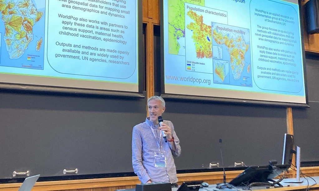
Répondez à notre enquête de satisfaction et contribuez à façonner la suite Last week at the DHIS2 Annual Conference 2026 in Oslo, WorldPop team members Andy Tatem and Heather Chamberlain showcased how WorldPop data are now integrated into DHIS2 systems, driving transformations in public health and humanitarian decision-making. Speaking in the Maps, GIS, and Population […]