
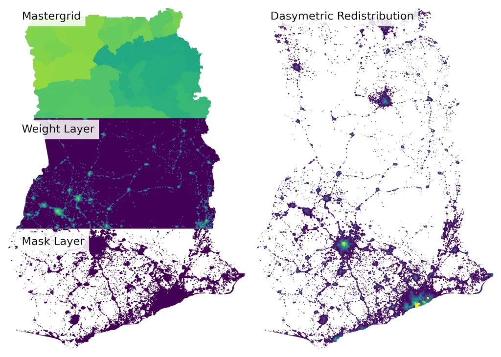
Turning Population Counts into High-Resolution Maps with pyDasymetric
Creating accurate population maps often starts with a challenge: population data are typically reported for administrative areas, but decisions need to be made at a much finer scale. To help bridge that gap, we have released pyDasymetric, a free, open-source Python package that makes it easier to redistribute population counts into high-resolution gridded population datasets […]
Turning Population Counts into High-Resolution Maps with pyDasymetric Read More »