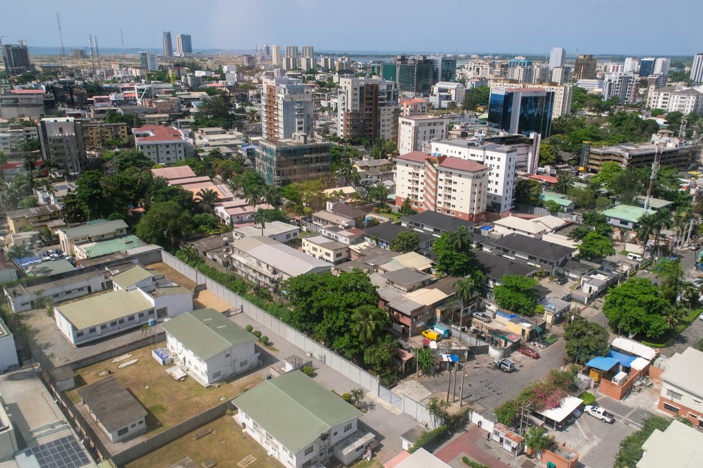
High-Resolution Mapping Sheds Light on Rapid Urban Growth
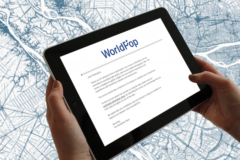
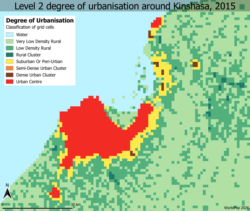
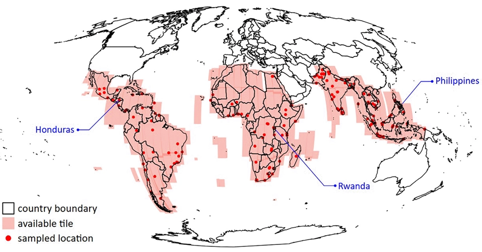
Take Our Survey and Help Shape What Comes Next Rapid urban growth is reshaping cities across Africa, Latin America and Asia, but in many places, reliable and up-to-date data about how cities are expanding simply doesn’t exist. New research from WorldPop, led by Dr Rhorom Priyatikanto, aims to change that. The team has developed a new dataset that tracks how […]
High-Resolution Mapping Sheds Light on Rapid Urban Growth Read More »