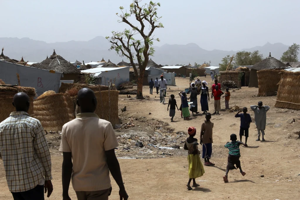
New geospatial method transforms how refugee populations are counted and surveyed
Take Our Survey and Help Shape What Comes Next WorldPop researchers have developed a faster, more accurate way to build national survey frameworks that better represent displaced populations, which is addressing a long-standing gap in humanitarian data. The study introduces a geospatial approach that enables governments and international organisations to identify and include refugees in […]
New geospatial method transforms how refugee populations are counted and surveyed Read More »