
This week, WorldPop Director Professor Andy Tatem presented during the Monitoring, projecting and hindcasting of human settlements, infrastructure and population session at the Human Planet Forum 2025, introducing the next generation of WorldPop’s global population datasets: Global 2 (2015–2030). These new datasets represent a major step forward in how the world measures, understands, and anticipates population distributions – and they are arriving at a crucial moment.
Accurate, reliable population data is the foundation for effective decision-making across health, planning, humanitarian response, and sustainable development. Using a combination of settlement data, land use, building footprints, satellite imagery, nighttime lights, mobile phone mobility signals and other geospatial covariates, WorldPop works to construct a detailed picture of where people live.
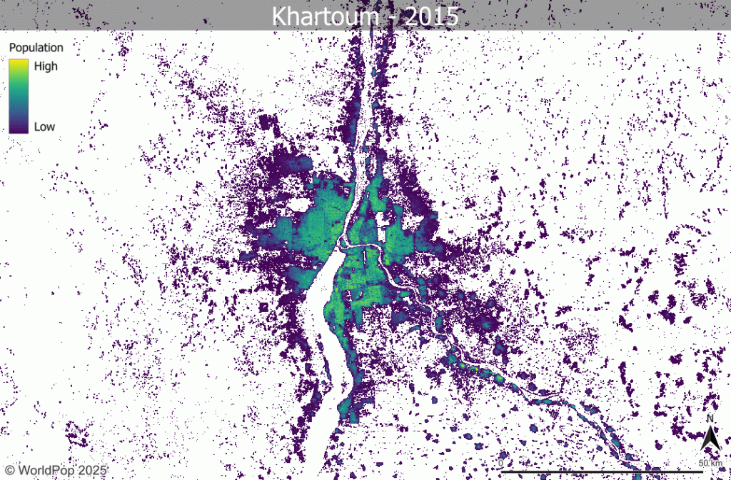
Global 2 builds on more than a decade of work, updating many components of the original Global 1 2000-2020 series. Unlike the earlier release, which relied on older settlement maps and a single census time point for many countries, Global 2 incorporates data from both the 2010 and 2020 census rounds, enhanced settlement data (including GHSL and the World Settlement Footprint), extensive building footprints, and a new set of 100m global covariates that improve precision across diverse landscapes. These inputs feed into updated modelling approaches that better capture within-settlement patterns, avoid placing population in inappropriate locations (such as airports or industrial zones), and correct for uncertainties in areas with limited census information.
The improvements are striking: Global 2 offers far more accurate detection of buildings and settlement extents, smoother and more plausible time-series estimates, and greater reliability in both urban and rural contexts. For policymakers planning vaccination campaigns, estimating health service needs, designing educational catchments, or targeting humanitarian operations, these advances can translate directly into better real-world outcomes.
The Human Planet Forum 2025 brings together global experts to examine how human settlement patterns, infrastructure growth, and environmental change interact – and how geospatial data can guide sustainable development. Hosted by the Joint Research Centre and partners, the Forum provides a platform to explore how new data, methodologies, and modelling tools can help governments navigate rapid urbanisation, shifting demographic trends, and climate pressures.
This year’s Forum also marks the launch of the United Nations World Urbanization Prospects 2025, which reveals that the world is more urban than previously estimated when viewed through the harmonised Degree of Urbanization methodology. According to the new report, 81% of the global population now lives in cities and towns, with small and medium-sized cities among the fastest growing – especially across Africa and Asia. The findings underscore the urgency of robust population data to guide integrated planning across cities, towns, and rural areas.
As the world urbanises, high-resolution gridded data like WorldPop Global 2 becomes increasingly essential for understanding where people live, how settlements are expanding, and what infrastructure and services will be required in the decades ahead.
WorldPop’s work does not stop with the release of Global 2. As Professor Tatem outlined, we are preparing follow-on developments that will expand and deepen the dataset’s value:
- Population densities and administrative summaries to support more granular planning.
- Degree of Urbanisation classifications, aligning with UN statistical frameworks.
- Integration of bottom-up estimates produced jointly with national statistics offices, ministries of health and UN partners.
- Improved projections and hindcasts anchored in census data, demographic modelling, and emerging geospatial layers.
- Support for integrated assessment and climate modelling communities, including contributions to future SSP scenario datasets.
These advances reflect growing global demand for consistent, transparent, and actionable population data – demand that far exceeds what any one group can meet alone. WorldPop’s approach emphasises collaboration, open data, and co-development with governments, UN agencies, and research partners.
Global 2 promises to enhance how governments, humanitarian agencies, and researchers understand demographic change. Combining innovative geospatial science with the best available demographic data, it provides a clearer, more precise view of the world’s population.