
Imagine a life-saving vaccine is available, but reaching it means walking for hours, sometimes days. For millions of families in low- and middle-income countries, this isn’t a thought experiment. It’s everyday life. In 2021 alone, around 15.7 million children did not receive their first dose of the diphtheria-tetanus-pertussis (DTP1) vaccine.
One of the biggest challenges in closing this gap isn’t the vaccine itself, it’s knowing exactly where the children who are missing out live. National averages can make coverage look better than it really is, masking deep local inequalities. To fix this, health planners need detailed, local data. That’s where WorldPop’s open population datasets come in.
In a recently published research preprint led by Dr Natalia Tejedor Garavito, a Senior Enterprise Fellow at WorldPop, researchers used age- and sex-structured population data to zoom in on children under one year old. Instead of working at a country level, the data maps populations at a 1×1 kilometre resolution, offering a far clearer picture of where families actually live.
Crucially, these maps are tied to real building footprints identified from satellite imagery. That means the analysis isn’t based on rough estimates, it reflects real homes on the ground. Using this information, researchers calculated how long it would take for families to travel from their homes to the nearest health facility.
The results were striking. While many children live within 30 minutes of a clinic if they have access to a vehicle, walking tells a very different story. Thirty-nine percent of unvaccinated children lived more than an hour’s walk from a health facility. In countries such as Afghanistan and Papua New Guinea, that figure rose to over 80 percent.
The Global Immunization Agenda 2030 aims to halve the number of “zero-dose” children. By combining WorldPop’s high-resolution population data with travel-time analysis, health officials can now pinpoint healthcare “blind spots”—places where distance alone is keeping children from lifesaving vaccines.
In this way, data becomes more than numbers on a map. It provides direction for global health efforts, guiding smarter decisions about where to place clinics, deploy mobile teams, and ensure that no child is left unprotected simply because of where they were born.
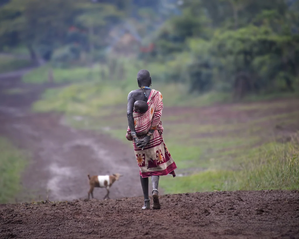
Image: Suri Woman, Tulgit, Ethiopia by Rod Waddington, 2025 CC BY-SA 4.0
We’re trialling the ‘Deep Dive’ audio summary feature of Google’s NotebookLM. This feature uses AI to create a podcast-like audio conversation between two AI-derived hosts that summarise key points of documents - in this case the “Geographic access to care for unvaccinated children in LMICs” preprint linked below.
As Google acknowledge that NotebookLM outputs may contain errors, we have been careful to check, edit and validate this audio.
Please contact us to let us know what you think.
Music: My Guitar, Lowtone Music, Free Music Archive (CC BY-NC-ND)