
How do you count people who live in conflict zones, move with livestock across vast landscapes, or live in communities that census teams cannot safely reach?
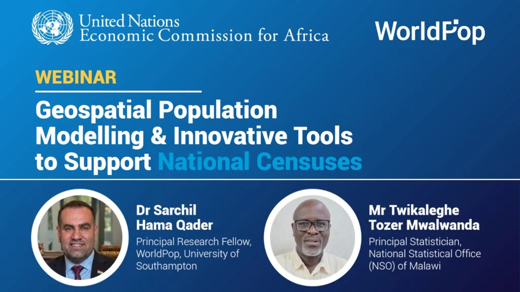
As African countries prepare for the 2030 census round, these questions are becoming increasingly urgent. During a recent United Nations Economic Commission for Africa (UNECA) webinar, researchers, statisticians and development partners explored how geospatial population modelling, satellite imagery and AI-powered tools can help ensure that everyone is counted, even in the most challenging environments
The webinar was moderated by Dr Ruben Muhayiteto and brought together representatives from national statistical offices, UN agencies, research institutions and development partners. Speakers explored how modern geospatial methods are already helping countries overcome longstanding census challenges and ensure that people are not left invisible in national statistics.
Opening the session, Mr Molla Hunegnaw from UNECA’s African Centre for Statistics highlighted a stark reality. While 41 African countries conducted a census during the 2020 round, 13 did not. He noted that countries continue to face challenges including budget constraints, outdated enumeration areas, displacement, migration and inaccessible locations.
WorldPop Principal Research Fellow, Dr Sarchil Qadar demonstrated how geospatial population modelling combines survey data, satellite imagery, building footprints and other geospatial datasets to produce high-resolution population estimates. These approaches can support census cartography, update enumeration areas, estimate populations in inaccessible locations and help national statistical offices plan field operations more efficiently.
Examples from Somalia, Burkina Faso, Cameroon, Colombia and Thailand showed how population models can fill coverage gaps where security concerns, difficult terrain or inaccessible housing, such as gated communities and high-rise buildings, make traditional enumeration difficult. In Cameroon, for example, modelling is being used to complement census data collected in areas where coverage proved challenging.
To bring the technology to life, Dr Qadar gave a live demonstration of WorldPop’s Pre-Enumeration Area (Pre-EA) tool in QGIS. The open-source plugin can automatically generate and update census enumeration areas using population estimates, road networks, waterways and administrative boundaries. Rather than spending months manually drawing boundaries, statistical offices can create draft enumeration areas in minutes, with outputs that align to real-world features such as roads and rivers. Dr Qadar also showcased the Enumeration Effort Metrics tool, which helps census planners estimate the time and resources needed to survey different areas, making it easier to allocate enumerators and plan operations efficiently.
A practical example came from Malawi’s National Statistical Office (NSO). NSO Principal Statistician, Twikaleghe Tozer Mwalwanda explained how Malawi is preparing for its 2028 Population and Housing Census using geospatial household modelling and automated EA design. By adopting the new approach, Malawi expects to reduce census mapping costs from around US$6 million to US$2 million while shortening the preparation period from four years to two.
As the webinar drew to a close, Molla Hunegnaw reinforced two key messages: innovation must be nationally owned, and no country needs to tackle census modernisation alone. Through collaboration between statistical offices, researchers and international partners, geospatial technologies are helping create a future where every person is counted and every count is trusted.
Watch the full webinar below.
Key questions from participants
Dr Qadar explained that the tool provides a user-friendly workflow within the open-source QGIS platform, making it more accessible for national statistical offices that may not have access to commercial software. The tool also aligns boundaries with visible ground features such as roads and waterways.
WorldPop’s population datasets are produced by integrating census, survey, and other local population data with a range of geospatial covariates through statistically validated population modelling approaches. In contrast, Meta’s population datasets are derived primarily from building footprint data combined with machine-learning methods and related spatial datasets. Where available, WorldPop often works with national statistical offices and local partners to incorporate recent country-specific data, particularly through its bespoke bottom-up modelling approaches, providing population estimates that are tailored to national contexts.
Dr Qadar clarified that modelling approaches are used to complement existing census information rather than duplicate it. When combining methods, the goal is to improve geographic detail and fill gaps while remaining consistent with trusted population estimates.
The speakers noted that AI is already embedded in many geospatial workflows. Machine learning can extract features from satellite imagery, support population modelling, and improve operational planning. Emerging applications may also help with survey development and field data collection.
Responding to a question from Sudan, Dr Qadar acknowledged the challenge. He explained that high-resolution imagery, vegetation indicators, mobile phone data and emerging data sources may help track population movements. However, he emphasised that uncertainty remains and that nomadic populations continue to present one of the most difficult census challenges.
Learn more
- A virtual preEA workshop for the Guinea and Benin (WorldPop)
- PreEA Tool for QGIS (GitHub)
- QGIS & PreEA tool run through (GitHub Wiki)
- WorldPop Open Data
- WorldPop Free Learning Resources