
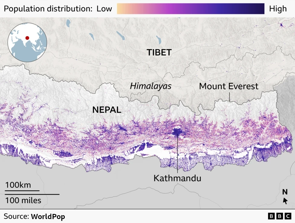
A new study published in Scientific Reports and featured by BBC News finds that rapid development in parts of the Himalayas is exposing at least 300,000 people to flooding and other climate-related hazards. Built-up land in high-risk areas of northern Nepal, south-eastern Tibet, and India’s Uttarakhand region grew by around 45% between 2016 and 2023, while development near glacial lakes rose by nearly 78%.
WorldPop’s open, high-resolution population data played a key role in the research. The international research team, led by Dr C. Scott Watson at the University of Leeds, used WorldPop’s 100-metre gridded population estimates and projections to assess how many people are estimated to live in flood-prone zones across Himalayan catchments between 2015 and 2030. This allowed them to pinpoint where settlement growth overlaps with areas vulnerable to river flooding and glacial lake outburst floods, estimating around 293,800 people could currently be living in high-risk zones.
By providing spatially explicit population data, WorldPop enabled the researchers to move beyond mapping physical hazards to quantifying their human impact — a critical step for disaster risk reduction and climate adaptation planning.
As warming temperatures accelerate glacier melt and development expands into hazard-prone areas, policymakers need accurate information on where people live to protect lives and livelihoods. This study is a strong example of how open geospatial data translates scientific findings into actionable insight for communities on the front line of climate change.
Headline image: Map of Nepal showing population distribution, © 2026 BBC.