
Last week at the DHIS2 Annual Conference 2026 in Oslo, WorldPop team members Andy Tatem and Heather Chamberlain showcased how WorldPop data are now integrated into DHIS2 systems, driving transformations in public health and humanitarian decision-making.
Speaking in the Maps, GIS, and Population Data session, Professor Tatem highlighted the growing role of geospatial intelligence in helping governments and organisations understand not just where people are, but how populations move and change over time.
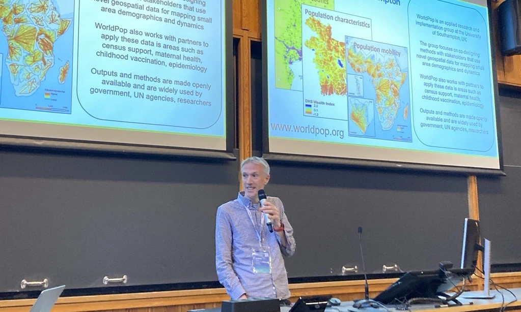
WorldPop is one of the founding strategic technical partners of DHIS2, and Heather Chamberlain presented WorldPop’s global datasets at the launch event for these partnerships at the conference. The event, hosted by the University of Oslo, brought together more than 370 experts from 63 countries to explore innovations across the DHIS2 ecosystem – the world’s most widely used health management information system and a cornerstone Digital Public Good deployed in over 80 countries.
Population Data “Under the Hood” of DHIS2
One of the most significant developments is the integration of WorldPop’s new high-resolution Global 2 population datasets directly into the DHIS2 Maps app.
These datasets provide population denominators that can underpin critical health metrics such as vaccination coverage, disease prevalence, and service accessibility. Behind the scenes, WorldPop generates population estimates at a 100-metre grid-cell resolution using what Tatem described as a “giant data sandwich” that combines more than 100 geospatial layers, including satellite imagery, building footprints, and infrastructure data.
The result is a flexible population intelligence layer that can be applied across a wide range of operational challenges, including:
- Estimating health facility catchment populations.
- Identifying and targeting “zero-dose” children who have never received a vaccine.
- Monitoring population displacement and mobility during humanitarian crises.
- Supporting evidence-based resource allocation at local and national scales.
Mapping Dynamic Populations in a Changing Climate
During the Climate Health Partners Panel, Tatem emphasised that population distributions are not static but shift seasonally and in response to environmental and economic pressures. These movements have direct implications for disease transmission, healthcare demand, and supply chain planning.
“The value of these geospatial predictions is really being able to aggregate and their flexibility of being able to integrate with other types of data,” Tatem explained. “We can link them with health facilities and estimate catchment populations.”
This highlights a broader trend: population datasets are evolving from simple census-derived basemaps into dynamic analytical layers that can be integrated with health, climate, mobility, and infrastructure data.
Delivering Measurable Results
The impact is already being demonstrated on the ground.
In the Central African Republic (CAR), new digital mapping tools are helping to improve childhood vaccination by giving health workers a much clearer picture of where populations are distributed. Through a partnership between the Ministry of Health and HISP Rwanda, health teams replaced scattered spreadsheets and hand-drawn maps with a single digital planning system.
In one region of the country, this helped identify children who had never received a routine vaccine, particularly in remote communities that had previously been missed. Using detailed maps showing where populations are distributed based on WorldPop data, health workers were able to reach these underserved areas more effectively. The new data provides a more accurate picture of the number of children who need vaccines, allowing health authorities to set better targets and allocate resources more effectively.
From identifying missed communities to improving resource allocation, the integration of WorldPop data into DHIS2 demonstrates how better data can lead to better decisions and ultimately, better health for all.
Learn more
- Maps, GIS, and population data presentation (YouTube)
- Climate Health Partners Panel (YouTube)
- WorldPop joins the first cohort of DHIS2 Strategic Technology Partners (WorldPop)
- New webinar showcases how geospatial data reaches zero dose children in remote regions (WorldPop)
- WorldPop Open Data
- WorldPop Free Learning Resources