Planning

Photograph of the Leaghany River from Ballymongan Road, Tyrone

WorldPop researchers improve mapping accuracy for rare habitats

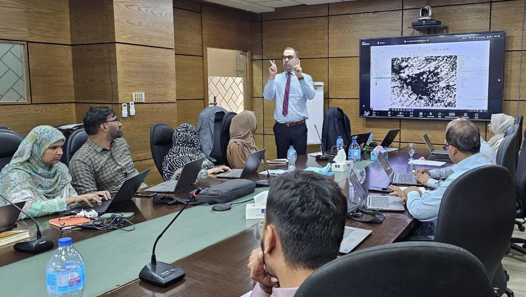
Take Our Survey and Help Shape What Comes Next Researchers at WorldPop have pioneered a new mathematical model that significantly improves the accuracy of geospatial mapping for rare and endangered habitats.  The study, published in the International Journal of Geographical Information Science, introduces the Entropogram-based Random Field (ERF) model. This tool addresses a critical gap in environmental monitoring: the […]

WorldPop researchers improve mapping accuracy for rare habitats Read More »

Black and white cartoon of a woman sneezing

Predicting the Next Wave: Mapping the “War” Between Viruses

Take Our Survey and Help Shape What Comes Next In the wake of the COVID-19 pandemic, public health officials have worried about a “triple-demic”, a simultaneous surge of COVID-19, the flu, and respiratory syncytial virus (RSV – an infection that causes common cold-like symptoms). But what if these viruses don’t just spread alongside each other?

Predicting the Next Wave: Mapping the “War” Between Viruses Read More »

Photo of u-haul trailer parked outside a rural cottage

Researchers reveal global patterns of ‘urban exodus’ 

Take Our Survey and Help Shape What Comes Next A new study by an international team led WorldPop postgraduate researcher Qianwen Duan has revealed a significant “urban exodus” across the globe during the COVID-19 pandemic. By analysing high-resolution data from 35 countries, the research team found that while many people fled dense city centres for

Researchers reveal global patterns of ‘urban exodus’  Read More »

Photo of man wearing mask in street

Lessons from COVID-19: How Data and Modelling Evolved During the Pandemic

A new MOnitoring Outbreaks for Disease surveillance in a data science context (MOOD) Horizon 2020 study published this week offers an insightful look at how disease modelling and data use changed throughout the COVID-19 pandemic. The research, led by Dr Esther van Kleef, Technical Consultant for the World Health Organization (WHO), with WorldPop’s Professor Andy

Lessons from COVID-19: How Data and Modelling Evolved During the Pandemic Read More »

Photo of the flooded areas of Borno State after the Alau dam collapsed, triggered extensive floods.

How WorldPop Data Powers Google’s Global Flood Forecasting Revolution

As climate change drives more extreme weather patterns, the need for accurate and timely flood forecasting has never been greater. A global leader in this effort, Google’s Flood Hub, uses artificial intelligence to predict riverine floods1, and behind the scenes, WorldPop’s Global Project Population dataset is playing a pivotal role in shaping the tool’s impact.

How WorldPop Data Powers Google’s Global Flood Forecasting Revolution Read More »

Photo of Dr Sarchil Qader leading a workshop for the Pakistan Bureau of Statistics

WorldPop: Sharpening Pakistan’s Survey Tools with Geospatial Know-How

We’re excited to be working side by side with Pakistan Bureau of Statistics (PBS) and UNFPA to modernise survey planning and sampling in Pakistan, through a strategic training programme focused on Advanced Sampling for Complex Integrated Specialized Household and Economic Surveys run by Senior Research Fellows, Dr Sarchil Qader and Dr Gianluca Boo. Dr Qader

WorldPop: Sharpening Pakistan’s Survey Tools with Geospatial Know-How Read More »