
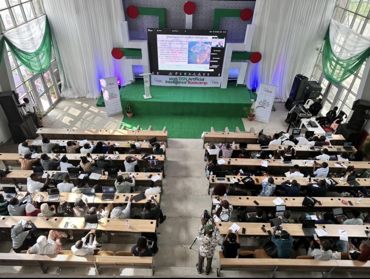
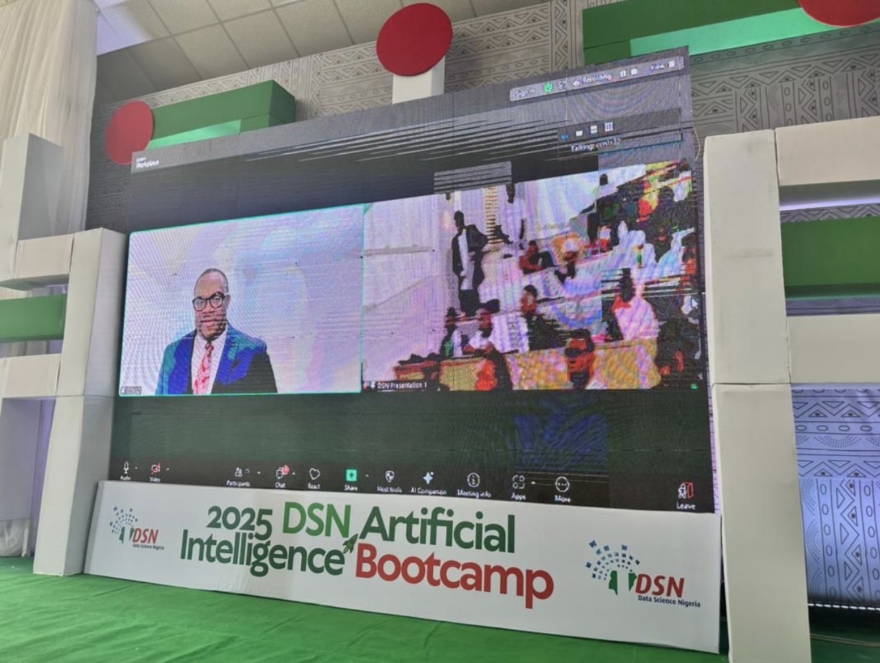
On Tuesday, October 21, Senior Research Fellow Dr. Chris Nnanatu delivered a keynote presentation at the 2025 Data Science Nigeria AI Bootcamp, where he spoke on a topic shaping Africa’s digital future: “The Future is Geospatial: Powering Africa’s Growth with Location Intelligence (LI).”
Dr. Nnanatu explored how geospatial and artificial intelligence (AI) technologies are transforming decision-making and economic growth across the continent. His message was clear, Africa’s path to sustainable development runs through data, maps, and collaboration.
Location Intelligence (LI) is the process of turning geospatial data (information tied to specific locations) into actionable insights. It blends Geographic Information Systems (GIS) with data analytics and visualisation tools like maps and dashboards to reveal patterns and relationships that ordinary data often misses.
This could mean anything from tracking disease outbreaks to monitoring crop yields, mapping road networks, or planning new cities. The data behind these insights comes from a variety of sources: GPS coordinates, satellite imagery, and remote sensing tools that measure everything from land use to access to health facilities.
Geospatial data can take two forms:
- Vector data: points, lines, or polygons representing objects like buildings, roads, or boundaries.
- Raster data: grid-based images such as aerial photographs or climate maps that represent continuous surfaces.
Dr. Nnanatu highlighted that Location Intelligence is more than a technology, it’s a catalyst for Africa’s growth. When combined with AI, it becomes a powerful force for innovation across key sectors:
- Urban Planning: Smart mapping can help cities manage infrastructure, waste, and transport systems more efficiently.
- Agriculture: Precision farming uses geospatial insights to monitor soil, rainfall, and crop health – boosting productivity while conserving resources.
- Public Health: Tracking disease patterns enables better responses and equitable healthcare access.
- Disaster Response: AI-driven geospatial models can predict floods, droughts, or landslides and guide emergency relief efforts.
By understanding where things happen and why, African nations can manage scarce resources more effectively, attract investment, and foster sustainable growth.
Several African countries are already seeing the benefits. In Nigeria, Lagos State’s LASGIS initiative has revolutionised urban planning and service delivery through geospatial data. Rwanda’s Smart Rwanda Master Plan integrates geospatial insights to enhance governance, healthcare, and investment.
However, challenges remain, unreliable infrastructure, limited data availability, high costs, skill shortages, and policy gaps continue to slow adoption. To overcome these, Dr. Nnanatu emphasized the importance of cross-border collaboration, stronger policies, and multi-sectoral partnerships.
The future of Africa’s digital economy depends on its ability to harness AI and geospatial technologies together. Dr. Nnanatu called for:
- Establishing a National Geospatial Data Infrastructure (NGDI)
- Promoting Open Data Initiatives
- Investing in capacity building and technical training
- Strengthening Public-Private Partnerships (PPPs)
- Embedding Location Intelligence into national development plans
The vision is clear: an Africa where data drives development, where every community, business, and government can make smarter decisions through the power of location
Learn more
- WorldPop – how geospatial data put people on the map (Royal Geographical Society)