
In major disasters, rapid response depends on two critical pieces of information: how many people are affected and where they are. This knowledge enables responders to prioritise aid delivery to the most vulnerable populations. Recent evidence from Sri Lanka shows that open population data from WorldPop helps answer these questions quickly and reliably.
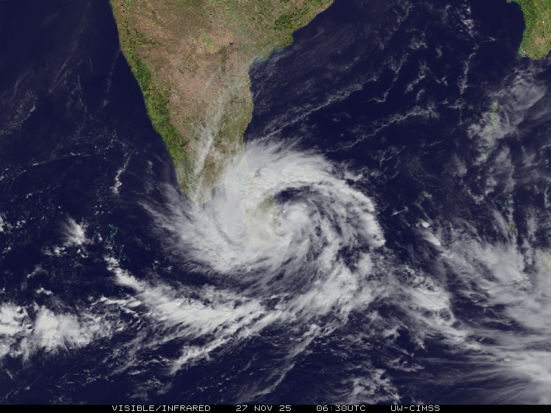
Cyclone Ditwah made landfall in Sri Lanka on 28 November 2025, unleashing heavy rains, flooding, and landslides across the country. According to a recent assessment by the United Nations Development Programme (UNDP) and Sri Lanka’s Disaster Management Centre, floodwaters inundated about 1.1 million hectares – roughly 20% of the nation’s land area. WorldPop’s high-resolution population data was combined with satellite flood maps, to estimate that around 2.3 million people were directly exposed to flooding. Among them were approximately 1.2 million women, 522,000 children, and 263,000 older adults, illustrating the scale of risk faced by vulnerable groups.
This analysis demonstrates the power and value of open population datasets. By overlaying flood extent or other information captured from the field with population distribution, humanitarian agencies and governments can build insight into where people are located relative to hazards, enabling more targeted emergency responses and better planning for evacuation, medical support, and shelter needs.
In the case of Cyclone Ditwah, the data also highlighted the widespread exposure of infrastructure, with nearly 720,000 buildings, more than 16,000 km of roads, and hundreds of bridges and railway tracks found within flooded areas – information that helps shape recovery and rebuilding strategies.
Open population data like that provided by WorldPop is used around the world to support disaster risk reduction, public health planning, and sustainable development. By making detailed population estimates freely available, WorldPop helps ensure that responses to crises are data driven and that vulnerable communities are not overlooked.
Headline image: Visible infrared satellite loop of Cyclone Ditwah, by SSEC/CIMSS, University of Wisconsin–Madison, 2025