We’re excited to be working side by side with Pakistan Bureau of Statistics (PBS) and UNFPA to modernise survey planning and sampling in Pakistan, through a strategic training programme focused on Advanced Sampling for Complex Integrated Specialized Household and Economic Surveys run by Senior Research Fellows, Dr Sarchil Qader and Dr Gianluca Boo.
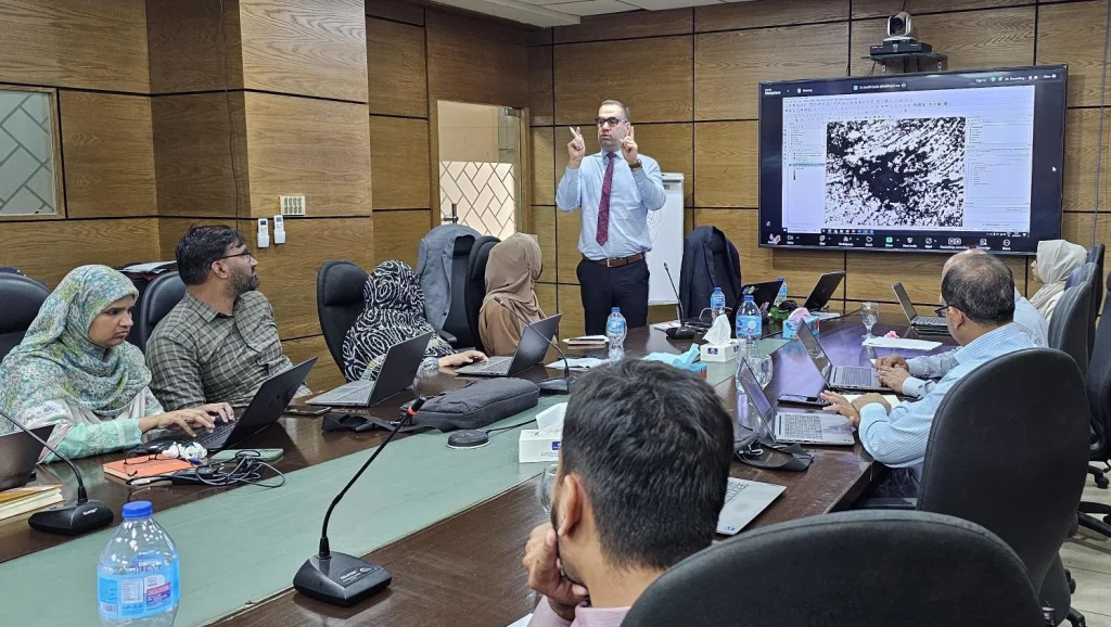
Dr Qader explained that the programme is designed to significantly boost PBS’s geospatial and sampling capacity. Participants are being introduced to new tools for updating census and sampling frames, stratifying using satellite-derived Earth Observation (EO) data, and optimising sample design using AI, machine learning, and simulation techniques.
These methods aim to align Pakistan’s upcoming surveys, such as the Pakistan Demographic and Health Survey (PDHS) and others, with both national priorities and international best practices. That alignment promises more accurate, policy-relevant results that can be compared across countries.
Traditional survey sampling methods often rely on outdated or incomplete enumeration areas. By overlaying satellite imagery, population maps, and updated sampling units, pre-census or survey sampling frames can be refreshed, making field data collection more efficient and representative. PBS officials noted this will be especially valuable in disaster response planning and tracking vulnerable or mobile populations.
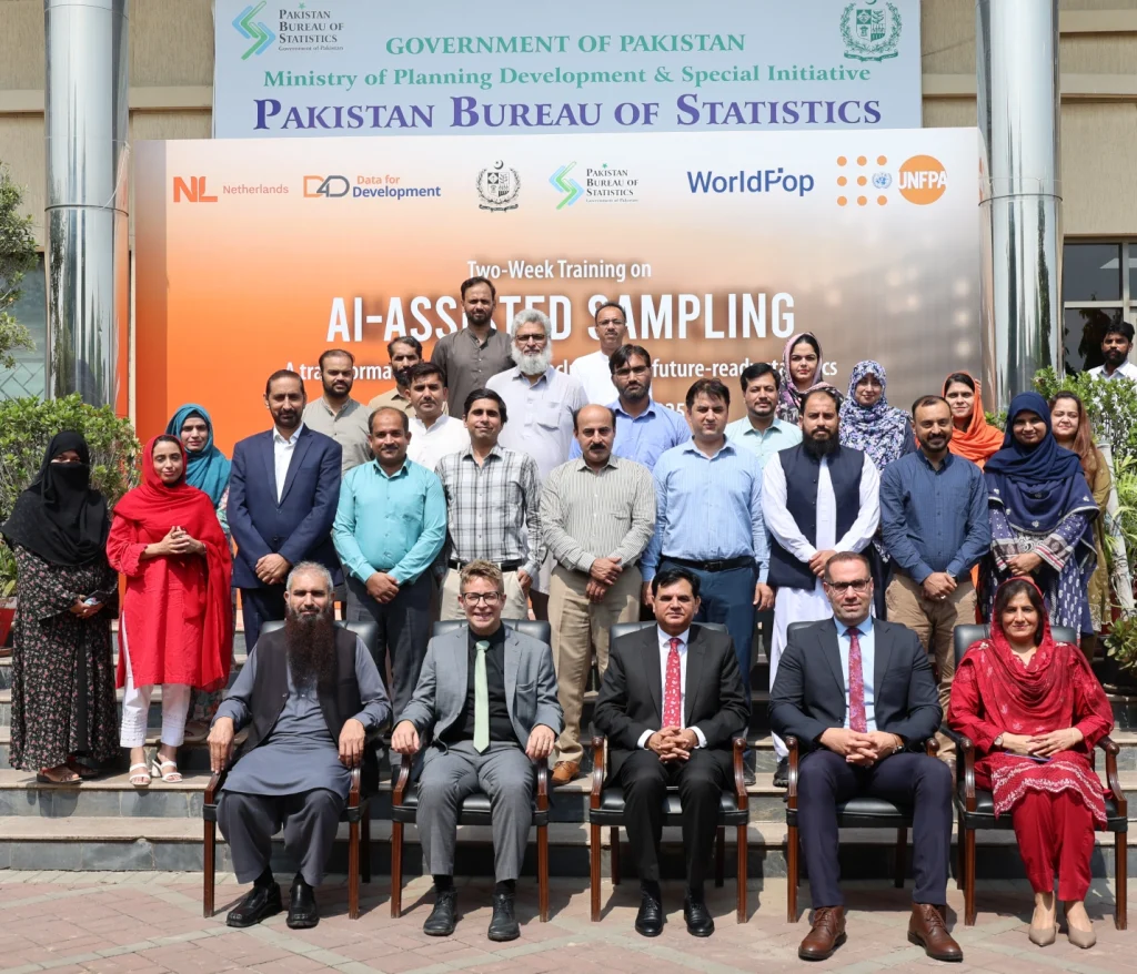
WorldPop Senior Research Fellows Dr Sarchil Qader and Dr Gianluca Boo with Imran Saleem (Director, DDSS), Rabia Awan (Deputy Director General, PSLM/PCS) and Muhammad Sarwar Gondal (Resource Management) and AI Assisted Sampling Workshop participants at the Pakistan Bureau of Statistics.
Pakistan’s recent experiences with devastating floods, droughts, and displacement crises have underscored the urgent need for stronger, more flexible data systems. By integrating geospatial methods and AI into survey design, the training programme equips PBS to quickly map and monitor affected populations, ensuring relief and recovery efforts reach the communities that need them most.
This kind of capacity building is central to our mission of helping national statistic offices globally adopt cutting-edge geospatial methods, from mapping population distribution to designing more efficient surveys. By equipping Pakistani survey teams with geospatial data processing skills, sampling theory, and AI-powered survey design tools, we hope the PBS will become a more agile, data-driven statistical institution. As Dr Qader put it, the workshop represents more than just technical training, it’s a leap forward for Pakistan’s broader journey toward better, smarter, and more inclusive data systems.