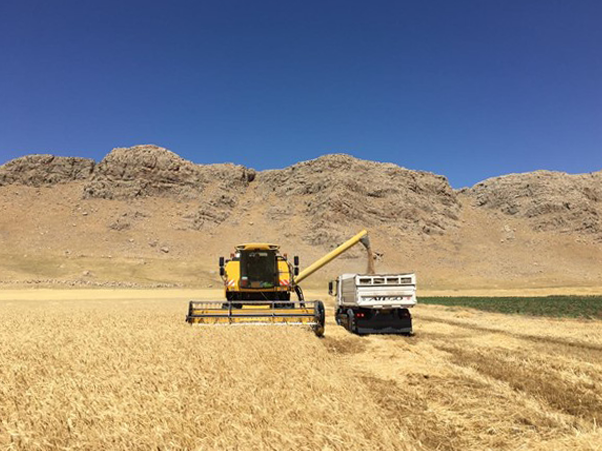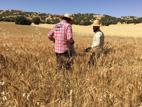
Ensuring food security and shaping policy intervention require accurate and timely mapping and monitoring of agricultural dynamics and production. Many low- and middle-income countries do not have sufficient information on agricultural outputs to inform policy decisions and enable field monitoring – especially at the level of individual farms. This lack of high spatial resolution data is particularly acute in conflict zones. Working with the University of Sulaimani and the Iraqi Kurdistan Regional Ministry of Agriculture and Water Resource, WorldPop researcher Dr Sarchil Qader is leading a project to explore the use of remote sensing data and advanced statistical modelling to estimate crop yield in Iraq.
Remote-sensing based approaches that adopt satellite imagery have proved useful in such regions where surveyors are not able to gain access due to security challenges. Satellite imagery data can support decision-making through enabling cost-effective monitoring systems that complement traditional approaches for collecting agricultural data.
This project aims to evaluate the potential of Sentinel-2 satellite derived measures of greenness and productivity to model and predict crop yield in smallholder arid and semi-arid farming systems, using Iraq as a case study. Adopting a fitting Bayesian multiple linear regression modelling approach to this data will aid the prediction of agricultural outputs. Quantifying farm-level crop production in advance could help policy makers, scientists and decision-makers improve agricultural management and food security under a variety of environmental conditions.
Project publications:
- Exploring the use of Sentinel-2 datasets and environmental variables to model wheat crop yield in smallholder arid and semi-arid farming systems
- Characterising the Land Surface Phenology of Middle Eastern Countries Using Moderate Resolution Landsat Data
- The Role of Earth Observation in Achieving Sustainable Agricultural Production in Arid and Semi-Arid Regions of the World